







MONT Verified
Moderate
From the cloud seas of Ta Xua to the karst of Ninh Binh — pick a destination and we show you every trail, race and guide there.
Every card shows the numbers that matter: distance, gain, time, difficulty and whether MONT has physically checked the route.

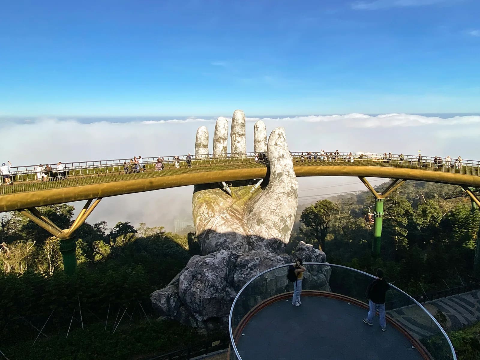
Da Lat · Lam Dong

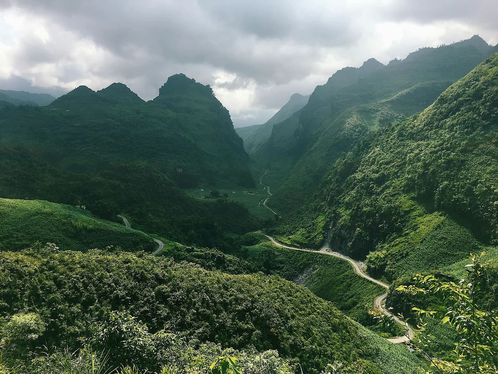
Ta Xua · Son La

Da Lat · Lam Dong

Ninh Binh · Ninh Binh

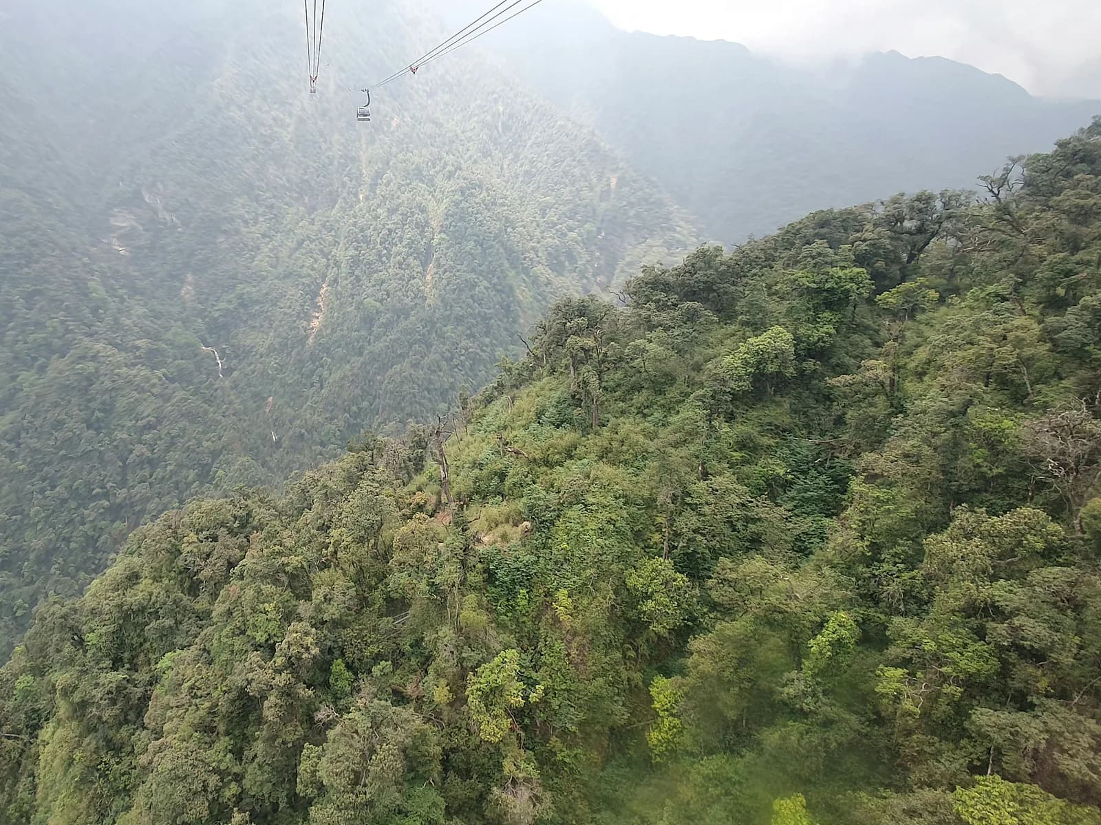
Fansipan · Lao Cai
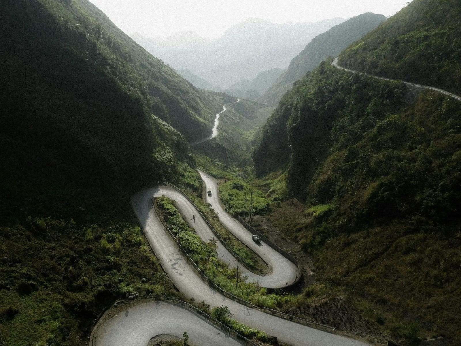
Ha Giang · Tuyen Quang
The most complete calendar of trail running in Vietnam, with live registration status and pricing stages.

6–8 Nov 2026 Đồng Văn, Hà Giang, Tuyen Quang

12–13 Dec 2026 Tà Xùa, Bắc Yên, Son La

19–21 Mar 2027 Đà Lạt, Lam Dong

24–26 Sept 2027 Sa Pa, Lao Cai
One cart, many sellers, one payment. Shoes, vests, poles, headlamps and nutrition from verified shops.
Certified trail coaches, mountain guides and nutrition specialists. Book online, pay securely, get started.

Ultra coach – 4× VMM 100K podium, 60+ athletes to their first 100K finish

British ultra coach in Saigon – UTMB, Western States and eight years in Vietnam

Sports nutritionist & coach for road runners moving to trail

H'Mong mountain guide – 300+ Fansipan summits, author of the Ta Van – Ban Ho route
A project by Ivan Grigorev
nauka.run turns your running into a plan you can actually read: today's session, current load and recovery, progress over time, and an honest answer to the only question that matters on the start line — am I ready?
MONT Verified
A MONT Verified route has been physically checked by our team: GPS re-recorded, water points confirmed, hazards documented, exits mapped. Then the community keeps it current.

For organizers
Launch a race in minutes: distances, pricing stages, promo codes, bibs, QR check-in, results and a financial dashboard.

For stores
Open a store, manage SKUs and stock, receive orders and print labels. We handle payments and split every multi-vendor cart.
Membership
Unlimited access to every premium route, offline GPX downloads, route guides and member discounts on races and gear.
Reviews, photos, condition reports and creator routes keep MONT accurate. Contribute and climb the reputation ladder.
Verified reviews from people who actually bought the ticket or ran the route.
Your report can flip a trail to CAUTION within minutes and protect the next runner.
Approved creators publish free or paid routes and keep 70% of every sale.