Fansipan via Tram Ton
Fansipan, Lao Cai, Vietnam
The roof of Indochina on foot – 23 km, 1,400 m of climbing
Overview
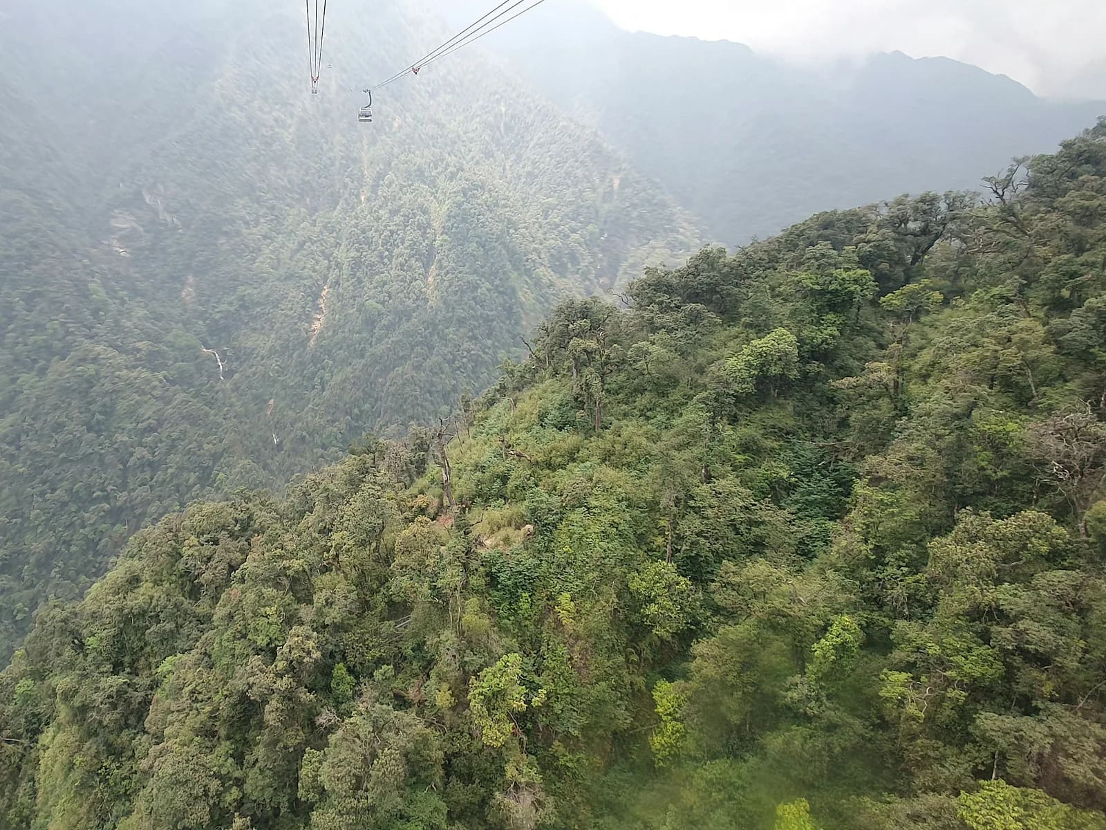
Since the cable car opened in 2016 the walking routes up Fansipan have returned to what they always were: a wild mountain line through subtropical forest, dwarf bamboo and ancient rhododendron inside Hoang Lien National Park. The Tram Ton line is the classic – 11.6 km each way with 1,400 m of cumulative ascent – doable in one long day if you are fit, or two days with a night at the 2,800 m camp. The park insists on a permit and a licensed porter or guide; MONT lists the ones we have walked with. It is a superb dress rehearsal for anyone preparing for the VMM 70K or 100K.
- Elevation gain
- +1,362 m
- Elevation loss
- −1,367 m
- Max altitude
- 3,147 m
- Min altitude
- 1,934 m
- Completions
- 2
- Trail Pack owners
- 8
Route
229 GPS pointsKm 0–1.8: gentle descent from the pass to Golden Stream and its log bridge. Km 1.8–5.6: steady climb through broadleaf forest on roots and rock to the 2,200 m camp. Km 5.6–8.9: the crux – rock steps, wooden ladders, dwarf bamboo – to the 2,800 m camp. Km 8.9–11.6: exposed, windy ridge with rock steps and a final steel stairway to the 3,143 m summit. Return the same way or by cable car.
Waypoints
- km 0.0Tram Ton ranger station (1,940 m)Start1945 m
Show your Hoang Lien NP permit and group list.
- km 1.8Golden Stream – log bridgeRiver crossing2060 m
Rises fast after heavy rain.
- km 5.6Camp 2,200 mCamp2467 m
Tin huts, kitchen, toilets. Porters cook here.
- km 8.9Camp 2,800 mCamp2877 m
Usual overnight for the 2-day itinerary. Very cold.
- km 11.6Fansipan summit 3,143 mSummit3137 m
Steel summit pyramid and cable-car complex. Café opens 9 am.
- km 11.6Cable-car station (optional descent)Transport3137 m
One-way descent ticket ~500,000 ₫, last car 5 pm.
- km 23.2Tram TonFinish1941 m
- 3 premium waypoints (water, camps, hazards) are in the Trail Pack
Elevation
1,400 m cumulative ascent (three sections lose height). From 1,940 m to 3,143 m. The 2,200–2,800 m stretch averages 17 % with near-vertical steps.
Weather
Above 2,800 m temperatures reach -3 °C with frost from December to February. Afternoon thunderstorms are routine May–September. Thick fog on the summit is normal – do not count on a view.
How to get there
From Sa Pa follow QL4D 15 km up O Quy Ho pass to Tram Ton (taxi 250,000 ₫, 30 min by motorbike). Permits are issued by the Hoang Lien NP office or arranged through a licensed porter (the Trail Pack lists names and 2026 rates).
- km 11.6Cable-car station (optional descent)— One-way descent ticket ~500,000 ₫, last car 5 pm.
Water sources
Golden Stream at km 1.8, a small filterable stream at km 3.1, water tanks at both camps. Carry 2 litres and a filter; there is no natural water above 2,800 m.
Exact locations are part of the Trail Pack
Food
Porters cook rice meals at both camps (included in their fee). The summit café by the cable-car station sells noodles and coffee from 9 am. Carry gels and quick food for the long climb.
Camping
The 2,200 m and 2,800 m camps have communal tin huts, thin mats and (usually damp) blankets. Bring your own -5 °C sleeping bag. Pitching a tent outside the huts needs ranger permission.
- km 5.6Camp 2,200 mTin huts, kitchen, toilets. Porters cook here.
- km 8.9Camp 2,800 mUsual overnight for the 2-day itinerary. Very cold.
Safety
Rotten ladders at km 7.4; the final ridge is exposed to strong wind; hypothermia risk is high when wet. Mild altitude symptoms (headache) are common above 2,800 m for lowlanders. Do not go alone – it is a park rule.
Dangerous sections
- km 7.2–7.8Unlock the Trail Pack to read this section
- km 10.4–11.6Unlock the Trail Pack to read this section
- km 1.6–1.9Unlock the Trail Pack to read this section
Escape routes
- km 5.6Unlock the Trail Pack to read this section
- km 11.6Unlock the Trail Pack to read this section
Emergency
Save the local contacts before you lose signal. Tell someone your route and turnaround time.
Best season
October–November (clear and dry) and March–April (rhododendron bloom). Avoid Tet, when porters are scarce, and the June–September monsoon.
Equipment
Mid-cut boots or stiff trail shoes, poles, gloves, down jacket, rain shell, headlamp, -5 °C sleeping bag, water filter, painkillers and blister kit. Original ID for the permit.
- Mid-cut boots or stiff trail shoes
- Trekking poles
- 600+ fill down jacket
- Waterproof shell
- Waterproof gloves
- -5 °C sleeping bag
- Headlamp + batteries
- Water filter
- Painkillers, blister plasters
- 500 ml thermos
Trail reports
No open reports. Be the first to report a condition change.
Reviews
- VHĐặng Việt HùngLocal Guide Verified23 Aug 2026
Làm trong một ngày – 9h15
Xuất phát Trạm Tôn 4h, đỉnh 9h15, xuống bằng cáp. Thang gỗ ở km 7,4 đúng như mô tả: mục ba bậc. Porter anh Páo trong danh sách rất chuyên nghiệp.
- SMSophie MartinTrail Explorer Verified6 Mar 2026
Two days was the right call
Camp 2,800 m was freezing (-2 °C in January) and the blankets were damp exactly as warned. Sunrise from the ridge above camp was the best moment of my year. Permit info in the pack saved us a lot of confusion.
Sign in to leave a review.
Nearby trails
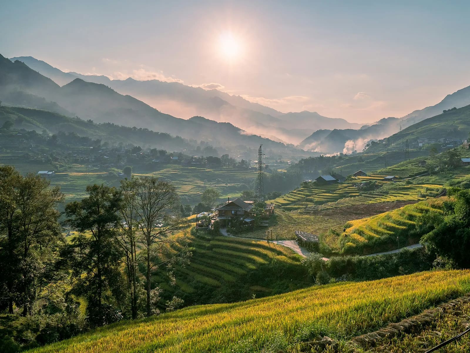
Muong Hoa Valley Loop
Sa Pa · Lao Cai
- Distance
- 15.4 km
- Elevation
- +676 m
- Time
- 3–5 h
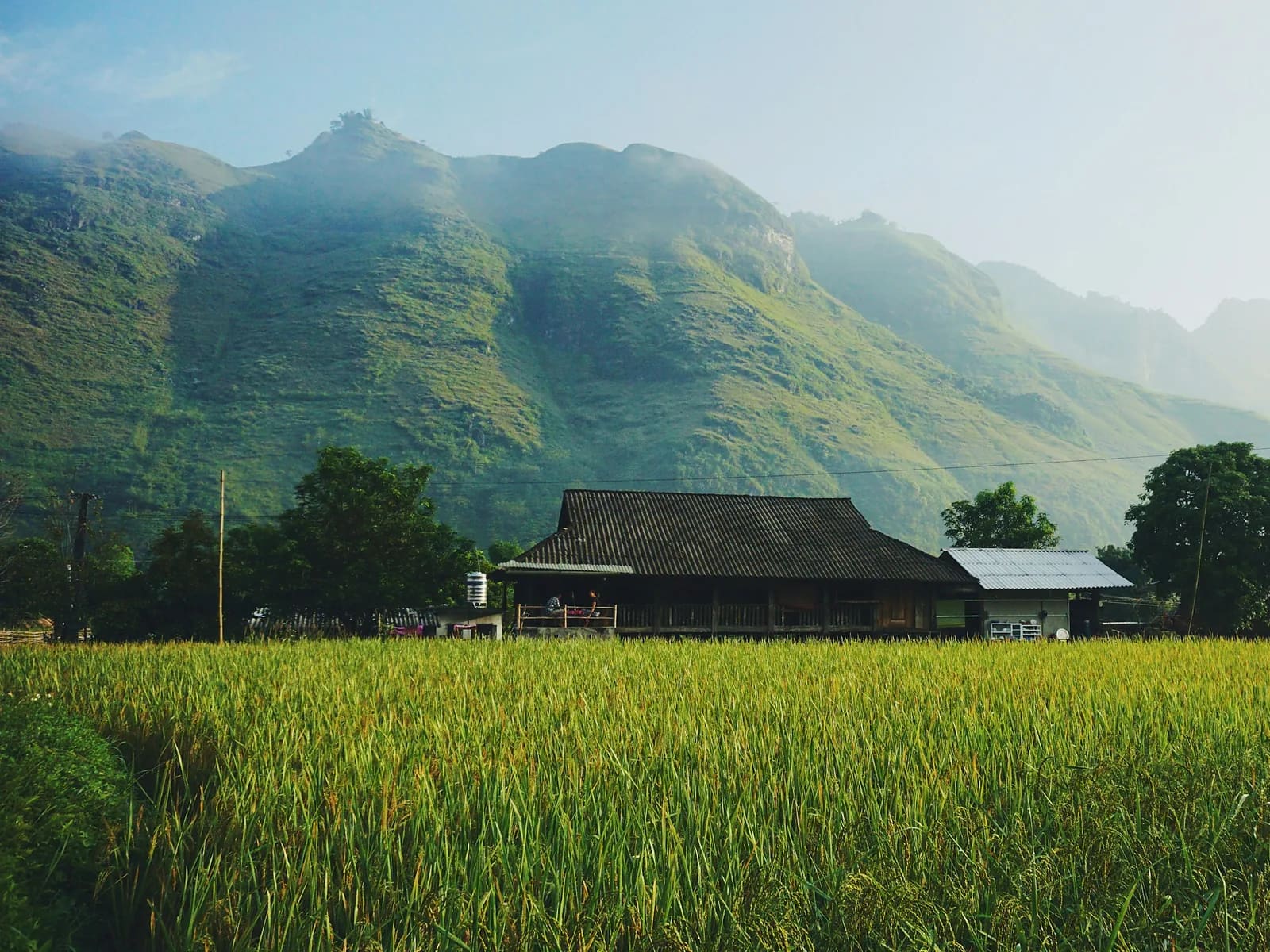
Ta Van – Ban Ho
Sa Pa · Lao Cai
- Distance
- 12.6 km
- Elevation
- +199 m
- Time
- 4–6 h