Tuyen Lam Pine Forest Run
Da Lat, Lam Dong, Vietnam
9 km of soft singletrack around Tuyen Lam lake
Overview
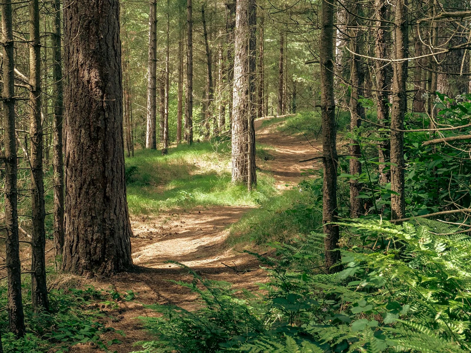
This is the daily run of Da Lat's trail community and the route MONT suggests to anyone lacing up trail shoes for the first time. Needle-carpeted red-earth trail, wide and forgiving, winds around the lake's small coves with just 180 m of total climbing. Cool 1,400 m morning air, the smell of pine resin and a mirror-flat lake make it addictive. Afterwards there are dozens of lakeside cafés. Free, safe, full phone signal – and the warm-up section of several Dalat Ultra Trail distances.
- Elevation gain
- +173 m
- Elevation loss
- −171 m
- Max altitude
- 1,453 m
- Min altitude
- 1,377 m
- Completions
- 5
- Trail Pack owners
- 0
Route
161 GPS pointsThe whole loop is dirt trail and 1–3 m forest track under pines, following the shore clockwise. Short 20–40 m rollers. Crosses asphalt twice, at km 4.9 and 7.1.
Waypoints
- km 0.0Tuyen Lam lake boat pierStart1378 m
- km 2.6Pine hill lake viewViewpoint1452 m
- km 4.9Lakeside caféFood1395 m
- km 4.9Lakeside caféWater1395 m
- km 7.1Truc Lam monastery (view)Viewpoint1390 m
- km 9.2Tuyen Lam lake boat pierFinish1380 m
Elevation
180 m up, 180 m down. Altitude 1,380–1,450 m. No climb longer than 300 m.
Weather
Dry season: 10–14 °C at dawn, fog on the lake until 7:30, 24 °C midday. Wet season: run before 1 pm to dodge afternoon rain; the red earth turns slick and sticky.
How to get there
6 km from central Da Lat (taxi 80,000 ₫, 15 min by motorbike) to the Tuyen Lam boat pier or Truc Lam monastery. The Robin Hill cable car also drops you at the monastery.
Water sources
Plenty of lakeside cafés, clustered at km 4.9. Half a litre is enough.
- km 4.9Lakeside café
Food
Lakeside cafés have banh mi and pastries from 7 am. Back in Da Lat, banh can or bun bo for the post-run meal.
- km 4.9Lakeside café
Camping
Several licensed lakeside campsites (150,000–300,000 ₫ for a pitched tent) – Saturday night camp, Sunday morning run is a popular combo.
Safety
Motorbikes at the asphalt crossings. Some private plots are under construction – respect fences. Café dogs are usually friendly.
Emergency
Save the local contacts before you lose signal. Tell someone your route and turnaround time.
Best season
November–April is dry; December–January has the most beautiful lake fog.
Equipment
Light trail shoes or road shoes; a thin long-sleeve for the cold start.
Trail reports
No open reports. Be the first to report a condition change.
Reviews
- PTVũ Phương ThảoTrail Explorer17 Sept 2026
Chạy mỗi sáng
Cung nhà mình. Sương trên hồ lúc 6h tháng 12 đẹp không tả nổi. Đường êm, không cần giày trail.
- SMSophie MartinTrail Explorer26 Mar 2026
Perfect recovery run
Soft trail, cool air, coffee at the end. Ran it three mornings in a row during DUT week.
Sign in to leave a review.
Nearby trails

Lang Biang Double Peak
Da Lat · Lam Dong
- Distance
- 13.4 km
- Elevation
- +977 m
- Time
- 5–8 h