
Lang Biang Double Peak
Da Lat, Lam Dong, Vietnam
Radar 1,929 m and Lang Biang 2,167 m in one 13 km loop
Overview
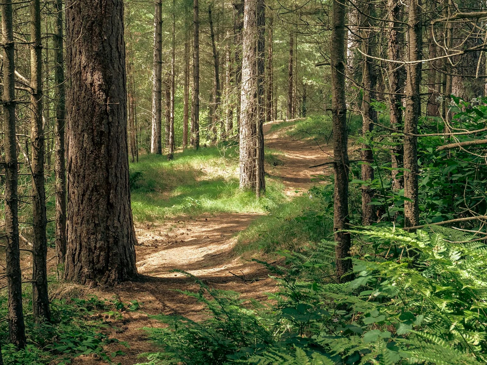
Lang Biang is Da Lat's iconic massif and the best climbing workout in the south. Most visitors ride a jeep to Radar peak; runners take the pine-forest footpath, 480 m up in 3.6 km. From Radar a dense ridge leads to the real Lang Biang summit (2,167 m) – a quiet stretch of roots and slick soil that is often in cloud. The eastern descent is the reward: long singletrack through open pine forest, one small stream to hop and a finish in the K'Ho village of Lach. Part of this terrain features in the Dalat Ultra Trail 70K. Re-measured by MONT Verified in January 2026.
- Elevation gain
- +977 m
- Elevation loss
- −988 m
- Max altitude
- 2,170 m
- Min altitude
- 1,438 m
- Completions
- 3
- Trail Pack owners
- 5
Route
140 GPS pointsKm 0–3.6: steep footpath through pine forest (not the jeep road), many earth steps. Km 3.6–6.4: ridge through damp broadleaf forest, 20–25 % rooty grade, to the Lang Biang summit. Km 6.4–9.8: faint path down the eastern flank – GPX needed – through pine. Km 9.8–13.4: small stream, dirt lanes through Lach village back to the gate.
Waypoints
- km 0.0Lang Biang tourist area gateStart1461 m
50,000 ₫ ticket; opens 6 am. Tell the guard you are taking the footpath.
- km 0.2Gate kioskWater1462 m
- km 3.6Radar peak 1,929 mSummit1900 m
Café and toilets. Jeeps come up here.
- km 3.6Radar peak caféWater1900 m
- km 6.4Lang Biang summit 2,167 mSummit2071 m
Concrete marker; views to Da Lat and Dan Kia lake.
- km 11.7Lach village – K'Ho peopleVillage1454 m
- km 13.4Lang Biang gateFinish1450 m
- 3 premium waypoints (water, camps, hazards) are in the Trail Pack
Elevation
1,010 m up, 1,010 m down. Radar 1,929 m, Lang Biang 2,167 m. The km 3.6–6.4 section loses 80 m then climbs 320 m.
Weather
Dry season Nov–Apr: 8–12 °C at dawn, 24 °C midday, hard sun on Radar. The Lang Biang summit is usually in cloud after 9 am. Wet season May–Oct: near-daily afternoon rain and red clay that sticks like glue.
How to get there
12 km from central Da Lat towards Lac Duong (taxi 150,000 ₫, bus no. 5). Car park at the tourist-area gate. Return to the same point.
Water sources
Gate kiosk at km 0.2, Radar peak café at km 3.6. After Radar there is no water until Lach village (km 11.7). Carry 2 litres.
- km 0.2Gate kiosk
- km 3.6Radar peak café
Food
Banh mi xiu mai and coffee in Lac Duong before you start. The Radar café sells noodles, eggs and coffee. Lach village does bamboo-tube rice and can wine in the evening.
Camping
Camping on Radar peak is allowed (register with the tourist area, 100,000 ₫/tent) – sunrise over the cloud sea on Dan Kia lake is superb. Lang Biang summit: no flat ground and not permitted.
Safety
The km 5–6 rooty climb is slick when wet. The eastern descent is faint – offline GPX is mandatory. Jeeps and motorbikes on the Radar asphalt (this route only crosses it twice). Few snakes or leeches outside the wet season.
Dangerous sections
- km 4.9–6.2Unlock the Trail Pack to read this section
- km 7–8.5Unlock the Trail Pack to read this section
Escape routes
- km 3.6Unlock the Trail Pack to read this section
- km 6.4Unlock the Trail Pack to read this section
Emergency
Save the local contacts before you lose signal. Tell someone your route and turnaround time.
Best season
December–February for dry, clear skies and cold mornings; March for cherry blossom and purple jacaranda in Da Lat.
Equipment
Mud-grip trail shoes, 8 L vest with 2 litres, windshell for the summit, poles for the descent, offline GPX, sunscreen.
- Mud-grip trail shoes
- 8 L vest + 2 L
- Windshell
- Folding poles
- Offline GPX
- Sunscreen, hat
- Headlamp if starting before 6 am
Trail reports
- ConstructionĐang làm đường bê tông mới cắt qua lối mòn ở km 12, có xe tải.Vũ Phương Thảo · 22 Sept 2026 · km 12
Reviews
- PTVũ Phương ThảoTrail Explorer Verified7 Sept 2026
Đoạn xuống sườn Đông tuyệt vời
Mình ở Đà Lạt và chưa từng biết lối xuống này. Cần GPX thật, đoạn km 7–8 mờ lắm. Radar đông khách nhưng đỉnh Lang Biang thì vắng tanh.
- ATLê Anh TuấnTrail Expert Verified14 Jun 2026
Bài tập vertical chuẩn cho DUT
Dùng cung này 3 lần trong khối tập DUT 70K. Thời gian tham khảo 2h50 chạy nhanh. Quán trên Radar bán trứng luộc rất tiện.
Sign in to leave a review.
Nearby trails
Tuyen Lam Pine Forest Run
Da Lat · Lam Dong
- Distance
- 9.2 km
- Elevation
- +173 m
- Time
- 1.5–2.5 h