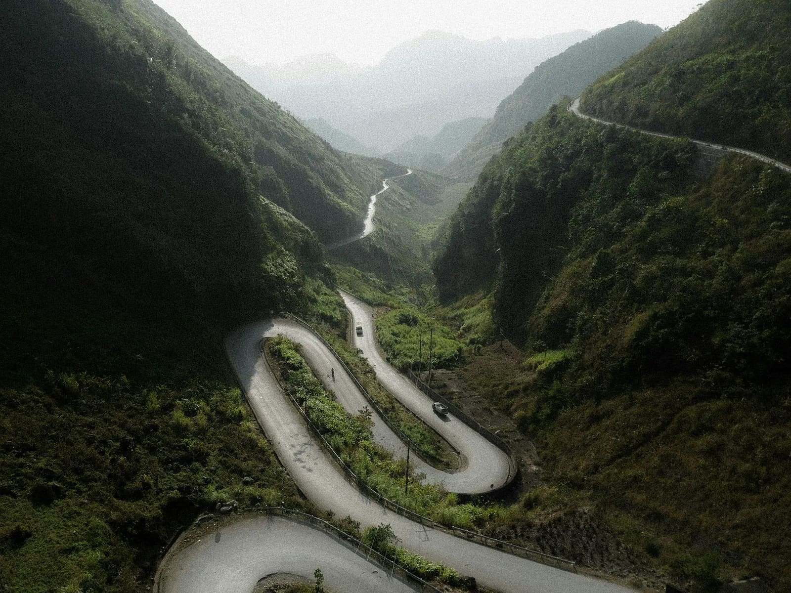
Ma Pi Leng Skyline
Ha Giang, Tuyen Quang, Vietnam
Dong Van to Meo Vac on the cliff path above Tu San canyon
Overview
Everyone rides Ma Pi Leng on a motorbike. This route walks it on the old H'Mong path that runs parallel to and above highway QL4C, clinging to limestone above the Tu San gorge. From Dong Van's old quarter you climb to Don Cao – an abandoned French fort – then follow the karst rib to the famous canyon lookout, touch the highway at the Panorama café and continue through H'Mong villages down to Meo Vac. Dry, sun-blasted and completely waterless – the karst plateau in its purest form. Surveyed by MONT Verified in November 2025.
- Elevation gain
- +754 m
- Elevation loss
- −669 m
- Max altitude
- 1,551 m
- Min altitude
- 1,051 m
- Completions
- 2
- Trail Pack owners
- 4
Route
180 GPS pointsKm 0–2.9: stone steps up to Don Cao, open and steep. Km 2.9–5.2: dirt path through maize planted between karst pinnacles. Km 5.2–8.1: the 'white cliff' – a 1 m path cut into limestone, the drop on your right down to the Nho Que river. Km 8.1–14.2: across QL4C and down a path through Xin Cai village to Meo Vac market.
Waypoints
- km 0.0Dong Van old quarterStart1055 m
- km 2.9Don Cao – French fortViewpoint1259 m
- km 6.8Tu San canyon lookoutViewpoint1523 m
Deepest canyon in Southeast Asia – 800 m.
- km 8.1Ma Pi Leng Panorama caféWater1538 m
- km 14.2Meo Vac townFinish1140 m
- 3 premium waypoints (water, camps, hazards) are in the Trail Pack
Elevation
720 m up, 630 m down. High point 1,560 m at km 6. Jagged karst makes progress slower than the distance suggests.
Weather
Dry with fierce sun October–April and strong UV at 1,500 m; winter dawns at 5 °C, middays 22 °C. Summer brings afternoon storms and sudden fog that hides the gorge.
How to get there
Sleeper bus Hanoi – Ha Giang (6 h) plus a Ha Giang – Dong Van bus (4 h, 150,000 ₫). From Meo Vac back to Dong Van: bus 45 min, or rent a motorbike and have your homestay shuttle it.
Water sources
No natural water. The Panorama café at km 8.1 is the only refill. Carry 2.5–3 litres.
- km 8.1Ma Pi Leng Panorama café
Food
Egg banh cuon and au tau porridge in Dong Van before you leave (from 6 am). Panorama café has noodles and coffee. Meo Vac market has thang co and pho.
Camping
No camping in the border zone. Homestays in Dong Van and Meo Vac 100,000–250,000 ₫.
Safety
The white cliff is exposed above a 400 m drop – not for anyone with vertigo. Karst is razor sharp; a fall means cuts. Green pit vipers bask on warm rock in the afternoon. Carry ID: this is a border zone and checks happen.
Dangerous sections
- km 5.2–8Unlock the Trail Pack to read this section
- km 9.3–9.9Unlock the Trail Pack to read this section
Escape routes
- km 2.9Unlock the Trail Pack to read this section
- km 8.1Unlock the Trail Pack to read this section
Emergency
Save the local contacts before you lose signal. Tell someone your route and turnaround time.
Best season
October–November (buckwheat flowers, but busy) and March (peach blossom, quiet). December–January is cold but has the clearest skies.
Equipment
Trail shoes with a stiff sole against sharp rock, hat, sunglasses, SPF50, 3 litres of water, poles, windshell. Original ID or passport.
- Stiff-soled trail shoes
- 3 litres of water
- Wide-brim hat, sunglasses, SPF50
- Folding poles
- Windshell
- Thin gloves (sharp rock)
- First-aid kit for cuts
- ID or passport
Trail reports
No open reports. Be the first to report a condition change.
Reviews
- VHĐặng Việt HùngLocal Guide Verified9 Jul 2026
Không có từ nào tả nổi
Đoạn vách đá trắng nhìn xuống Tu Sản là khoảnh khắc đẹp nhất đời chạy của mình. Hoàn toàn không có nước – đúng như cảnh báo, mình mang 3 lít và uống hết.
Sign in to leave a review.
Nearby trails
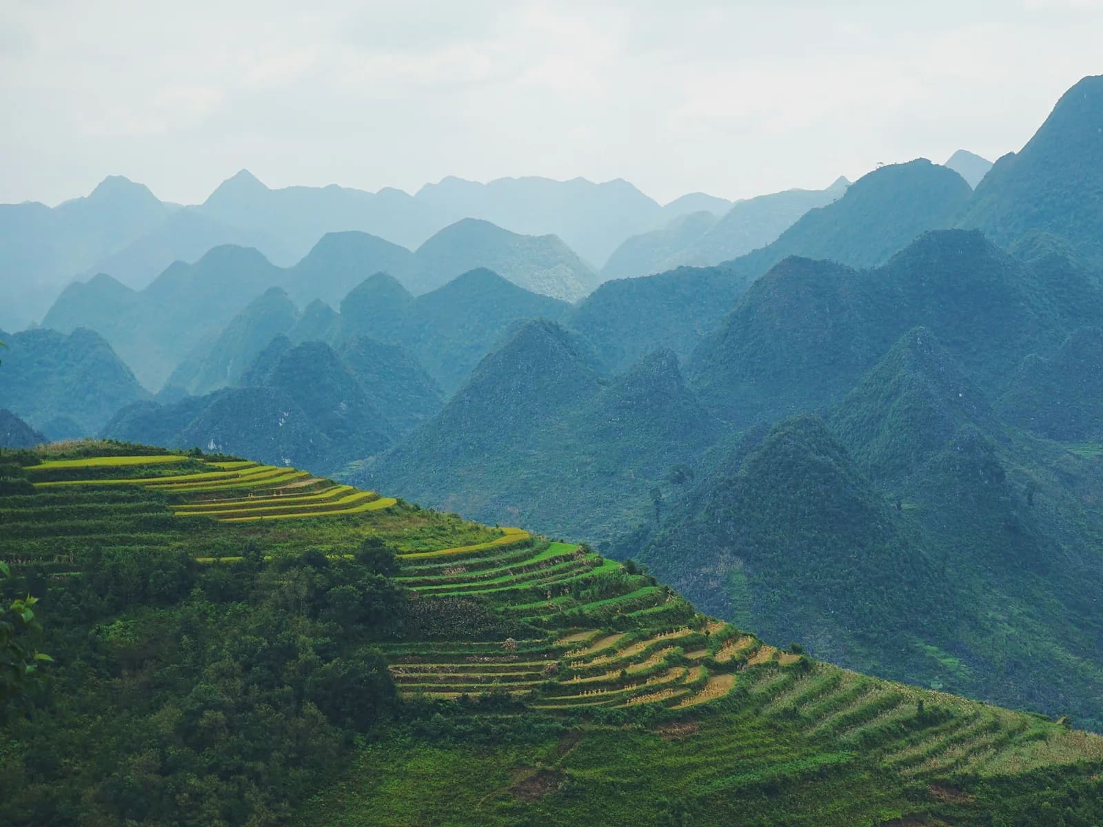
Lung Cu Flag Loop
Ha Giang · Tuyen Quang
- Distance
- 8.8 km
- Elevation
- +222 m
- Time
- 2.5–4 h