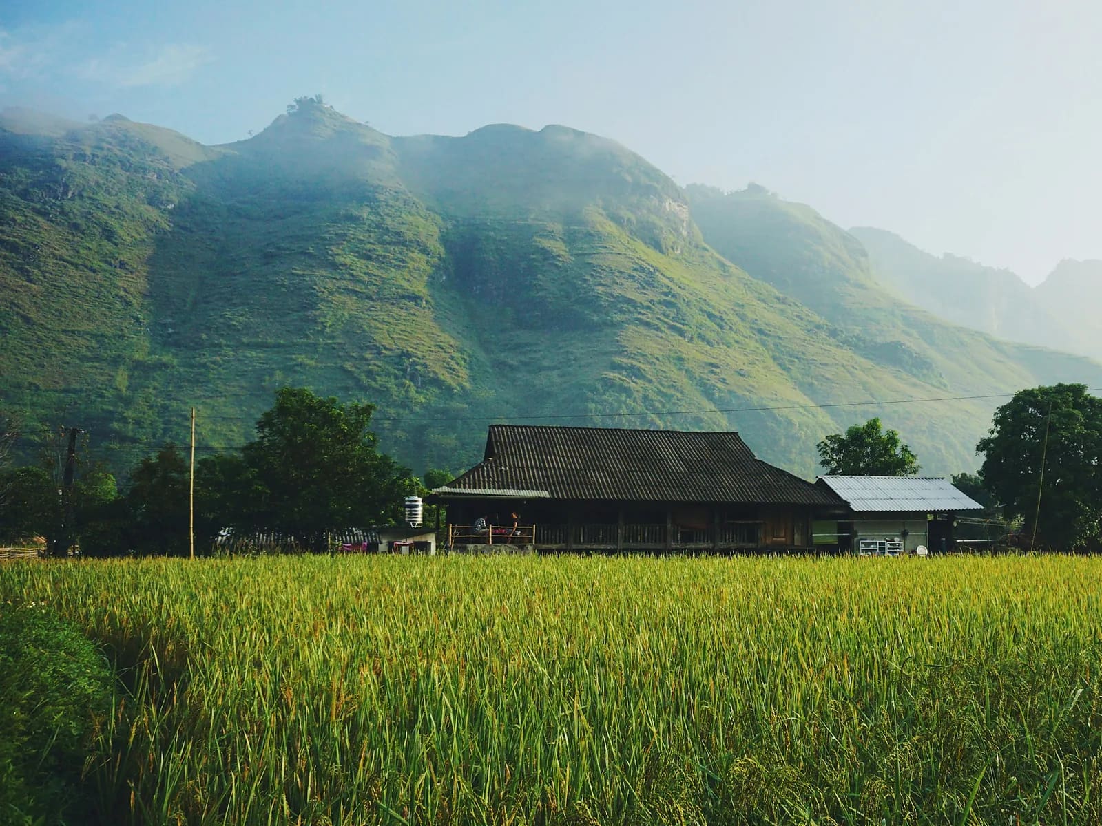
Ta Van – Ban Ho
Sa Pa, Lao Cai, Vietnam
Down into the warm Tay valley, finishing at a hot spring
Overview
This is the 'after Muong Hoa' route: once you know Lao Chai and Ta Van, keep going down. From the Ta Van suspension bridge a path traverses the southern hillside past the Red Dao village of Giang Ta Chai and its waterfall, then loses 500 m through bamboo forest, three stream fords and an old landslide slope to Ban Ho – a Tay valley of stilt houses, flat paddies and a natural hot spring. Sinh, born in Ta Van and guiding for twelve years, earns a 70 % share of this route's sales. Heat on the valley floor and leeches in the bamboo are the two things to prepare for.
- Elevation gain
- +199 m
- Elevation loss
- −708 m
- Max altitude
- 1,127 m
- Min altitude
- 450 m
- Completions
- 0
- Trail Pack owners
- 7
Route
171 GPS pointsKm 0–3.1: broad dirt track along the hillside to the Red Dao village and waterfall. Km 3.1–5.9: narrow path through bamboo, first ford, to the Su Pan spring. Km 5.9–9.4: long descent through fields, second ford, across the old landslide. Km 9.4–12.6: path widening into concrete road into Ban Ho and the hot spring.
Waypoints
- km 0.0Ta Van suspension bridgeStart959 m
- km 2.4Giang Ta Chai – Red Dao villageVillage1072 m
- km 3.1Giang Ta Chai waterfallViewpoint1108 m
- km 11.8Ban Ho – Tay homestayFood487 m
- km 12.6Ban Ho hot springFinish450 m
- 4 premium waypoints (water, camps, hazards) are in the Trail Pack
Elevation
280 m up, 790 m down. From 960 m to 450 m – the lowest of the Sa Pa routes, hence up to 8 °C hotter than town.
Weather
Ban Ho has a near-lowland climate: 30 °C at summer midday. Heavy rain makes all three fords impassable – check the forecast and ask your Ta Van host before leaving.
How to get there
Motorbike taxi or cab from Sa Pa to Ta Van (12 km). Back from Ban Ho: motorbike taxi 150,000 ₫ (numbers in the Trail Pack) or the local bus, twice a day.
Water sources
Su Pan spring at km 5.9 (source water, filter it), a grocery in Ban Ho. Carry 1.5 litres – km 6–12 is sunny with no stalls.
Exact locations are part of the Trail Pack
Food
Ban Ho homestays cook Tay food: stream fish, sour bamboo shoots, purple sticky rice (book ahead, 100,000 ₫/person). No stalls after Giang Ta Chai.
- km 11.8Ban Ho – Tay homestay
Camping
Sleeping in a Tay stilt house in Ban Ho (120,000–200,000 ₫) is the highlight of this route. Camping by the hot spring is allowed with the village head's permission.
Safety
The three fords become dangerous after rain; do not linger on the landslide slope at km 9.4. Plenty of leeches in the bamboo in the wet season. Viettel signal drops out between km 5 and 9.
Dangerous sections
- km 4.5–4.7Unlock the Trail Pack to read this section
- km 9.3–9.6Unlock the Trail Pack to read this section
Escape routes
- km 3.1Unlock the Trail Pack to read this section
- km 5.9Unlock the Trail Pack to read this section
Emergency
Save the local contacts before you lose signal. Tell someone your route and turnaround time.
Best season
October–December and March–April: dry, cool and low streams. Avoid June–August for heat and flash floods.
Equipment
Fast-draining trail shoes (they will get wet), leech socks, sunscreen, wide-brim hat, swimwear for the hot spring.
- Draining trail shoes
- Leech socks
- Wide-brim hat, sunscreen
- 8 L vest + 1.5 L water
- Dry bag for phone
- Swimwear
- Salt for leeches or insect repellent
Trail reports
No open reports. Be the first to report a condition change.
Reviews
- SMSophie MartinTrail Explorer Verified4 Jun 2026
Sinh's route is a gem
Far from the crowds, three fords, a hot spring at the end. Booked a Tay homestay through the contact in the pack. Would give six stars.
Sign in to leave a review.
Nearby trails
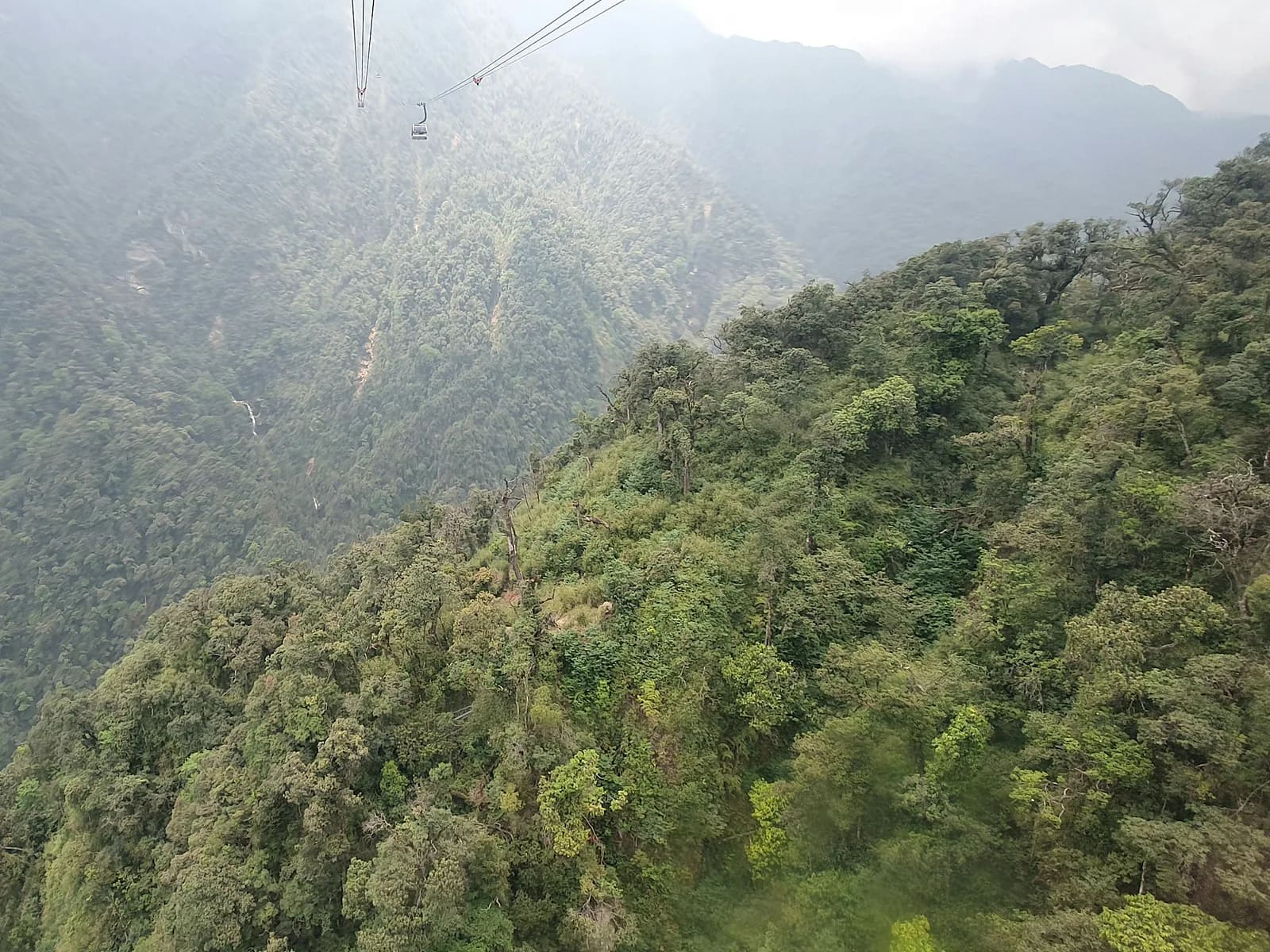
Fansipan via Tram Ton
Fansipan · Lao Cai
- Distance
- 23.1 km
- Elevation
- +1,362 m
- Time
- 10–14 h
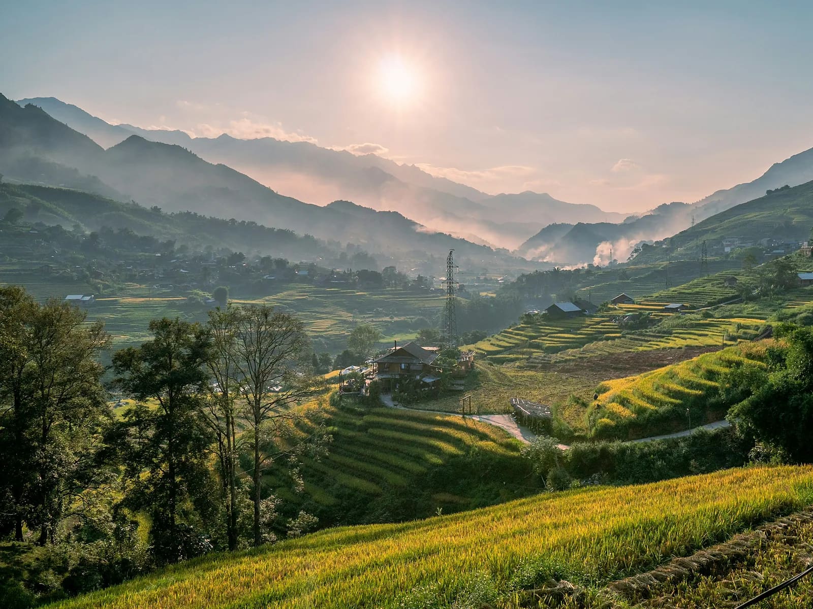
Muong Hoa Valley Loop
Sa Pa · Lao Cai
- Distance
- 15.4 km
- Elevation
- +676 m
- Time
- 3–5 h