Tuyen Lam Pine Forest Loop
The UTMB 10K course, run at your pace with somebody who knows it
About this trail
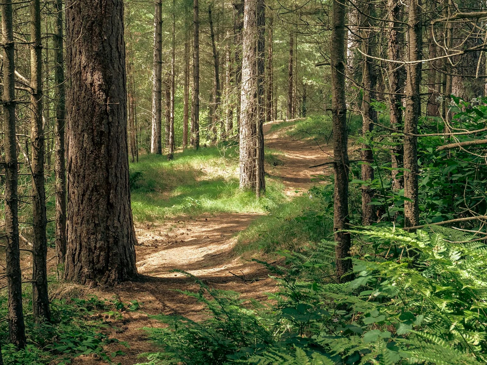
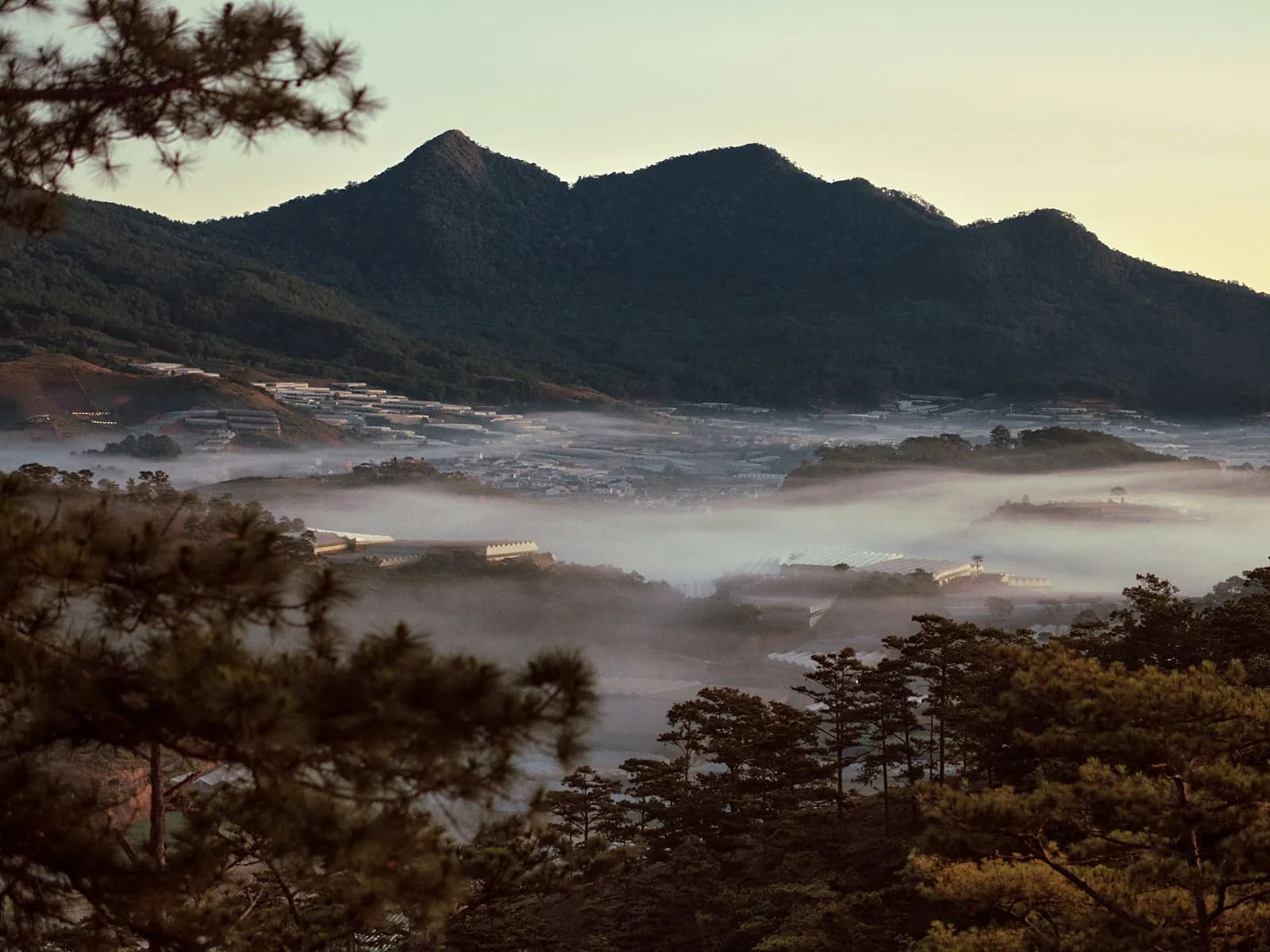
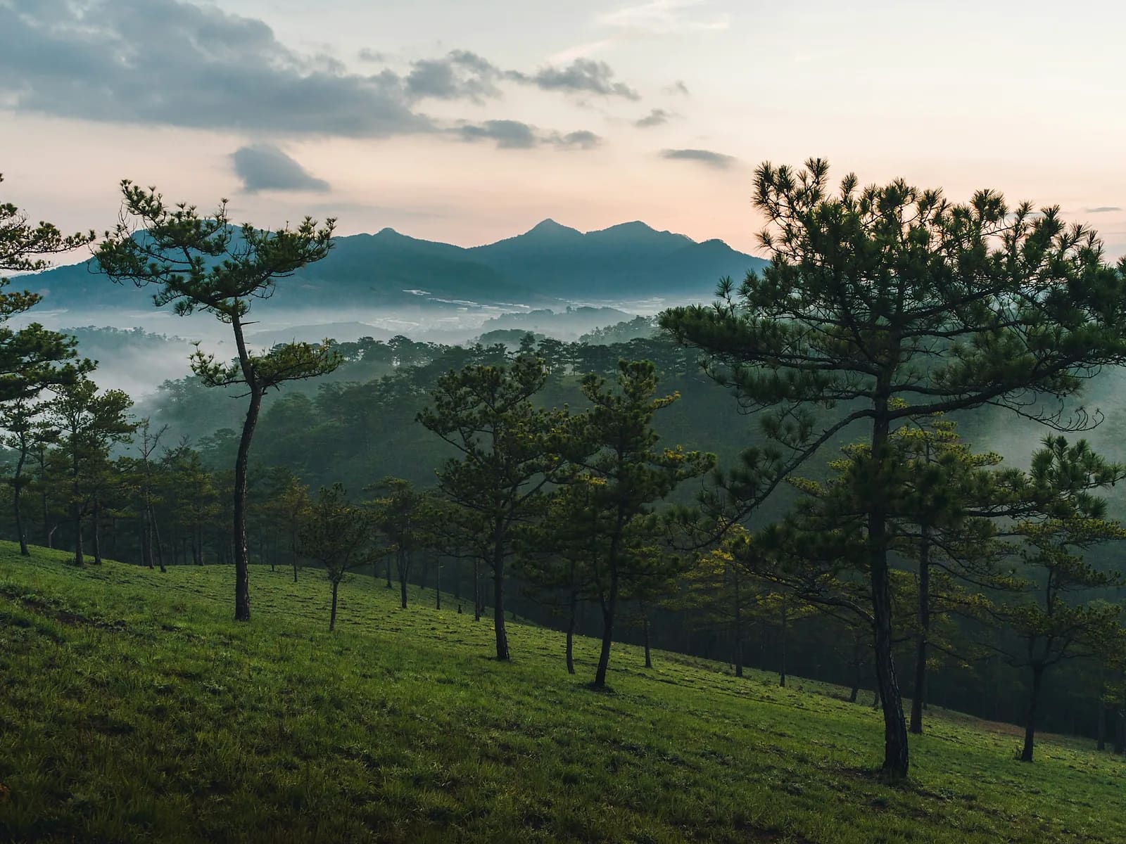
When UTMB brought a World Series race to Da Lat they needed a 10K that would sell the place in an hour, and this is the loop they chose. It leaves the Clay Tunnel on the north-east corner of Tuyen Lam, climbs a cogon-grass hillside for the view back over the water, then threads pine forest and lakeside trail all the way round. The organisers call it fast and highly runnable and they are right: the climbing is spread thin, and almost all of it is on surfaces you can push on.
Highlights
- A measured race course — 11.3 km, 486 m, no guesswork
- Cogon-grass hillside with the whole lake below you
- Open pine forest that runs like a cross-country course
- The best single loop in Da Lat if you only have one morning
Route
The line on the map is drawn through the real features of the route, not recorded with a GPS. It is right about where the route goes and how steep it is; the exact GPX comes from your own day and is sent to you afterwards.
Anti-clockwise from the Clay Tunnel. The first climb starts almost immediately and tops out on the grass ridge at 3.2 km. From there the route drops into pine forest, works around the eastern arm of the lake at 6.4 km, and returns along the shoreline past the cafés at 9 km before a last short rise back to the start.
Along the way
- km 0.0Clay Tunnel Tourist AreaStart1485 m
- km 3.2Cogon-grass ridgeViewpoint1585 m
- km 6.4Eastern arm of the lakeViewpoint1500 m
- km 9.0Lakeside caféWater1480 m
- km 11.3Clay Tunnel Tourist AreaFinish1485 m
Who is it for?
Runners who train. If you run 25 km in a normal week and have done a hilly half-marathon, this is a comfortable two hours. It is also the right recce if you are racing the Vietnam Highlands Trail or Dalat Ultra Trail.
What to bring
- Trail shoes with some grip — there is loose red earth on the descents
- A soft flask or a small vest
- A cap; the grass ridge has no shade
- A light layer for the start
What's included
- Your guide, pacing to your target rather than mine
- Pick-up and drop-off in central Da Lat
- Water and a snack at the halfway point
- Photographs from the run
- The recorded GPX afterwards
- Clay Tunnel attraction admission, if you want to visit it afterwards
- Travel insurance
Price
| People | Per person | Total |
|---|---|---|
| 1 | 1,700,000 VND≈ $65.38 | 1,700,000 VND |
| 2 | 1,100,000 VND≈ $42.31 | 2,200,000 VND |
| 3–4 | 950,000 VND≈ $36.54 | 2,850,000 VND |
| 5–6 | 830,000 VND≈ $31.92 | 4,150,000 VND |
Prices are per person in Vietnamese đồng. The US dollar figure is indicative and follows the rate set in the site's settings.
Safety
The grass ridge is exposed — in the dry season it gets hot by nine, in the wet season it is the first place the fog closes in. We carry a compass and an offline map, and I will turn us round if visibility drops. Patchy mobile coverage on the eastern arm.
Minimum age fifteen. Maximum six runners so that nobody is left running alone at the back.
Meeting point
Hotel pick-up in central Da Lat, or meet at the Clay Tunnel car park. Dry-season start 06:00; we can go later if you would rather not run in the dark.
Your guide

Ivan Grigorev
I am Ivan. I have been running for twenty years and coaching runners since 2011, and I have been in the mountains since 2009 and guiding in them since 2015. Ten marathons, five ultras over 100 km, Elbrus twice. I live in Da Lat and I have spent my mornings learning where its trails actually go.
Meet your guide