Razorback Ridge Run
Out of the city, onto the ridge, down to the lake
About this trail
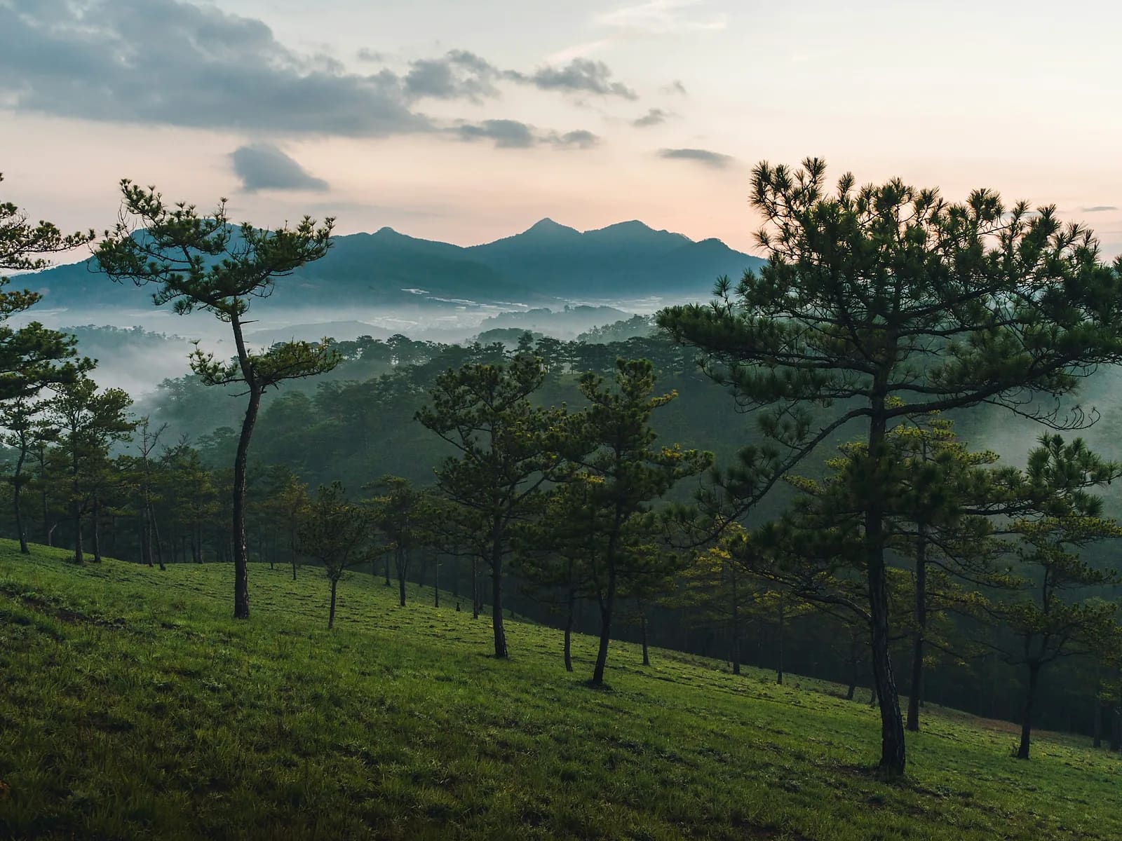
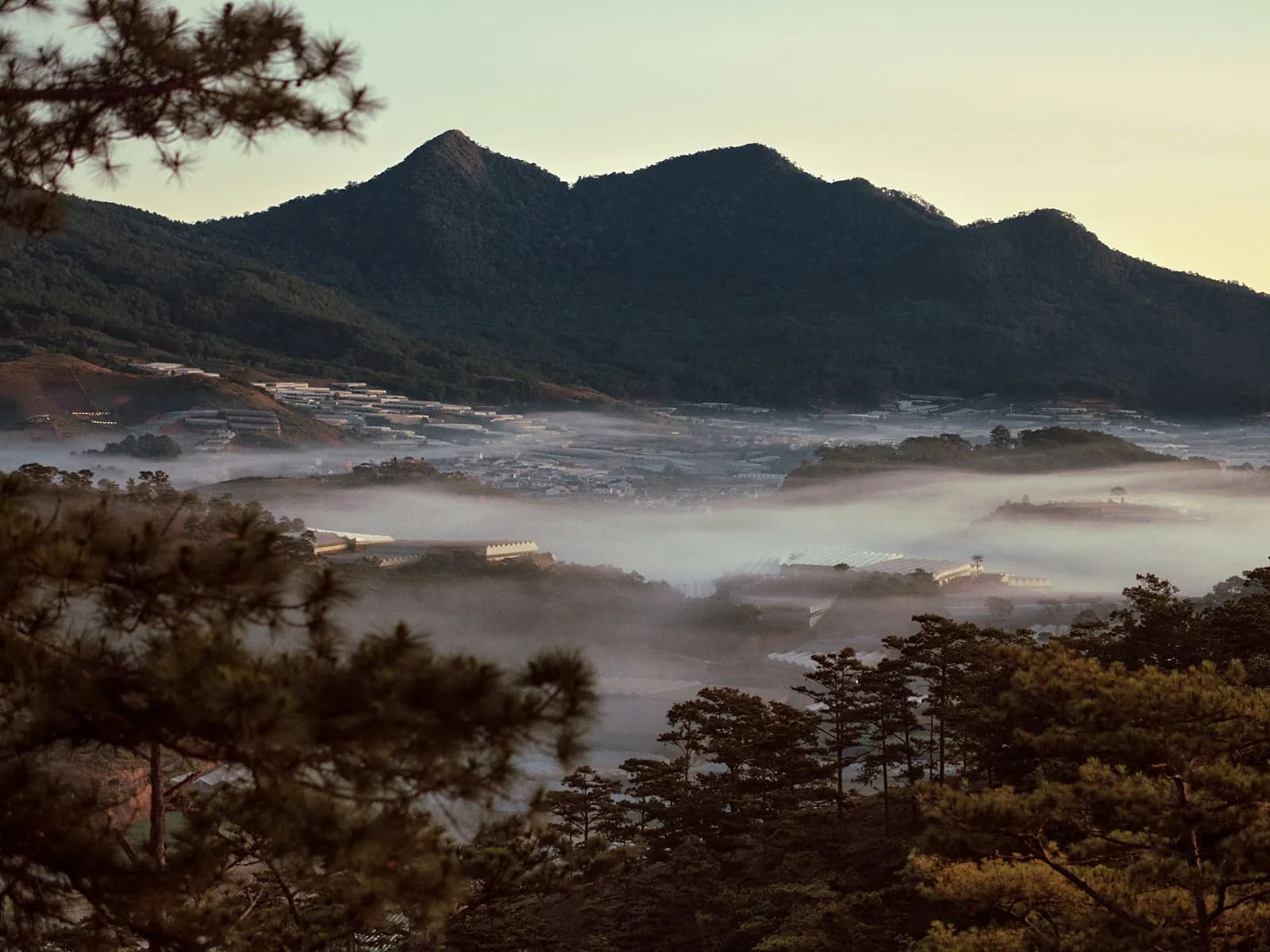
The Razorback is the line local riders and runners talk about: a jungle-fringed ridge that starts fifteen minutes from the market, climbs to around 1,700 metres and then rolls for kilometres with the forest dropping away on both sides. We take it from the city edge, stay high for as long as the ridge allows, and finish down at the Clay Tunnel by the lake where a taxi can pick us up. It is the run I would show someone who has one serious morning in Da Lat.
Highlights
- A continuous ridge line, not a summit and back
- Starts at the edge of the city — ten minutes of transfer, no more
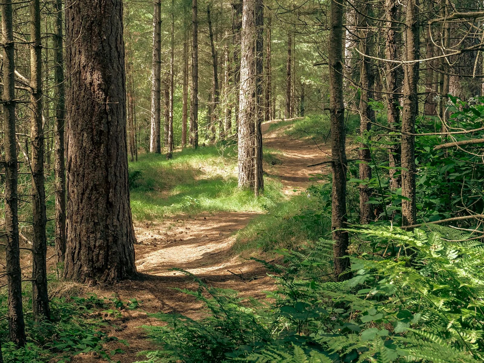
- Jungle on both flanks, open pine on top
- Finishes at the lake, with cold drinks and a taxi rank
Route
The line on the map is drawn through the real features of the route, not recorded with a GPS. It is right about where the route goes and how steep it is; the exact GPX comes from your own day and is sent to you afterwards.
South out of the city on forest track, gaining the first ridge at 3.6 km. The line then undulates along the crest, high point around 8.2 km, before a steep loose descent at 12.4 km that wants care. The last four kilometres run down through pine forest to the Clay Tunnel on the lake shore.
Along the way
- km 0.0Southern edge of Da LatStart1515 m
- km 3.6First ridgeViewpoint1595 m
- km 8.2Razorback high pointSummit1680 m
- km 12.4Steep loose descentDanger1580 m
- km 16.5Clay Tunnel Tourist AreaFinish1490 m
Who is it for?
Experienced trail runners. You should be comfortable with three hours on your feet, technical descending and a route where turning back early is awkward. If in doubt, do the Pine Forest Loop first and we will step up next time.
What to bring
- Proper trail shoes with aggressive lugs
- A vest with at least a litre of water
- Something to eat around the two-hour mark
- A wind layer — the ridge is exposed
- Poles if you like them; I carry a spare pair
What's included
- Your guide, front or back depending on what you want
- Pick-up in central Da Lat and transfer back from the lake
- Water and trail food
- Poles if you want them
- Photographs and the recorded GPX
- Lunch at the lake afterwards
- Travel insurance
Price
| People | Per person | Total |
|---|---|---|
| 1 | 2,200,000 VND≈ $84.62 | 2,200,000 VND |
| 2 | 1,450,000 VND≈ $55.77 | 2,900,000 VND |
| 3–4 | 1,250,000 VND≈ $48.08 | 3,750,000 VND |
| 5–6 | 1,080,000 VND≈ $41.54 | 5,400,000 VND |
Prices are per person in Vietnamese đồng. The US dollar figure is indicative and follows the rate set in the site's settings.
Safety
The descent at 12.4 km is steep, loose and genuinely slippery after rain; it is the one part of this route where I will ask you to walk if the ground is wet. Mobile coverage disappears for about four kilometres along the ridge. The trail branches repeatedly and the branches are not signed — this is the route where a guide stops being a luxury.
Minimum age eighteen. Maximum five runners. Not run in heavy rain — the descent is not worth it.
Meeting point
Hotel pick-up in central Da Lat. Dry-season start 05:30 so we are on the ridge for first light; later starts are possible but the ridge gets hot.
Your guide

Ivan Grigorev
I am Ivan. I have been running for twenty years and coaching runners since 2011, and I have been in the mountains since 2009 and guiding in them since 2015. Ten marathons, five ultras over 100 km, Elbrus twice. I live in Da Lat and I have spent my mornings learning where its trails actually go.
Meet your guide