Grand Tuyen Lam Traverse
Twenty-eight kilometres, 1,200 metres, the whole lake on foot
About this trail
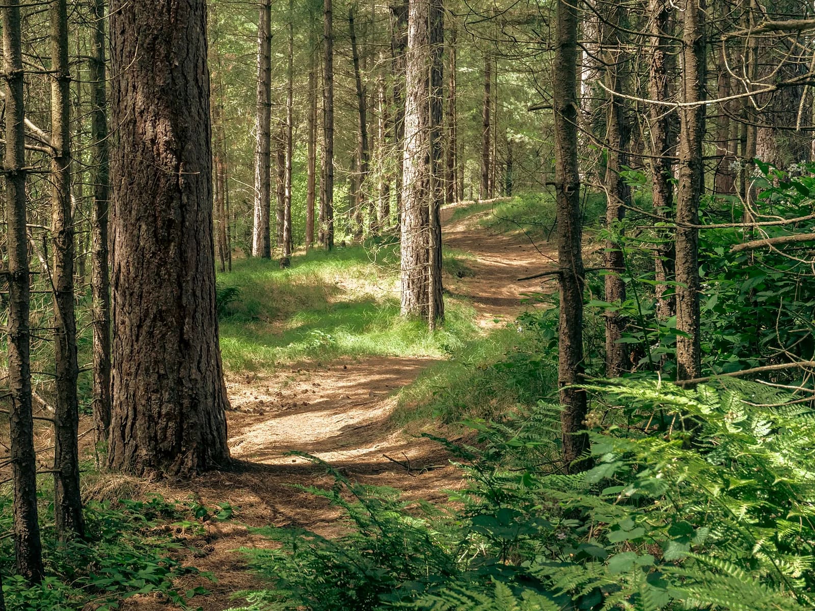
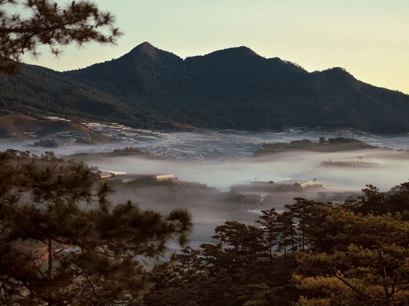
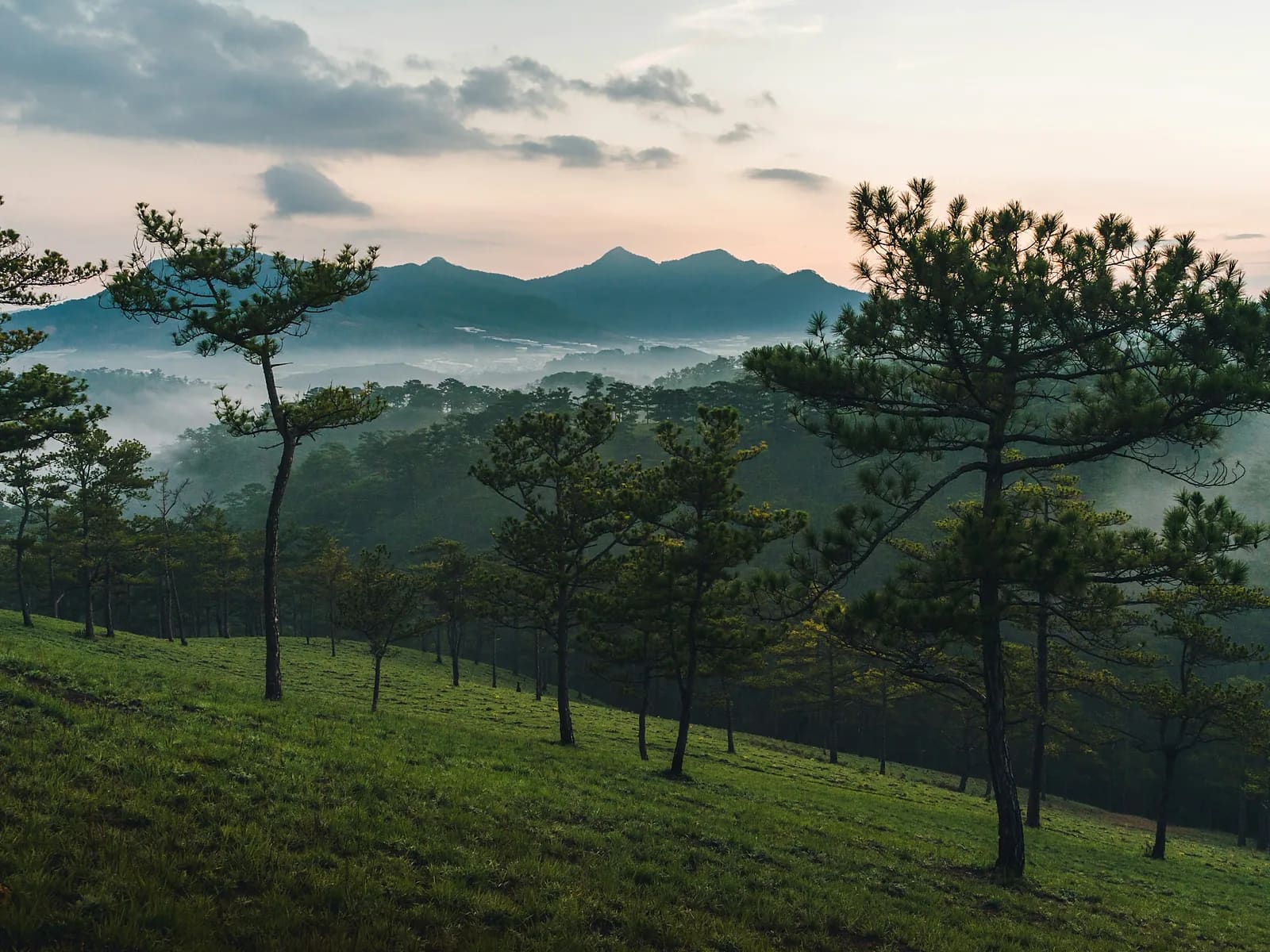
This is the route a Da Lat local described as the best thing he found here, and after running it I would not argue. It leaves from the Du Sinh cemetery gate on the western edge of the city, climbs onto the ridges, and then works its way round the whole of Tuyen Lam Lake — jungle singletrack, forest road, several peaks, long runnable descents — before coming back into town. Twenty-eight kilometres and 1,200 metres of climbing, and you never take a car.
Highlights
- A full circumnavigation of the lake, city to city
- Several summits, none of them a detour
- Jungle singletrack that most visitors never see
- A proper mountain day within the city limits
Route
The line on the map is drawn through the real features of the route, not recorded with a GPS. It is right about where the route goes and how steep it is; the exact GPX comes from your own day and is sent to you afterwards.
West to east along the ridges, high point at 6.2 km, then down to the lake for water at 11.5 km. The middle section works round the far arms of the lake with the best views at 15.8 km and lunch at 19.4 km. A steep descent at 24.1 km drops us back towards the city for the last four kilometres.
Along the way
- km 0.0Du Sinh cemetery gateStart1520 m
- km 6.2Razorback high pointSummit1675 m
- km 11.5Lakeside caféWater1590 m
- km 15.8Far arm of the lakeViewpoint1500 m
- km 19.4Lunch stopFood1460 m
- km 24.1Steep descent to the cityDanger1545 m
- km 28.0Du Sinh cemetery gateFinish1520 m
Who is it for?
Runners who have done a trail marathon or a long mountain day. Five to seven hours moving, and the last ten kilometres come after the legs are already tired. I will ask you honestly about your longest run before I take the booking.
What to bring
- Trail shoes you have already run long in
- A vest with 1.5 litres and room for food
- Real food, not only gels
- A wind and rain layer
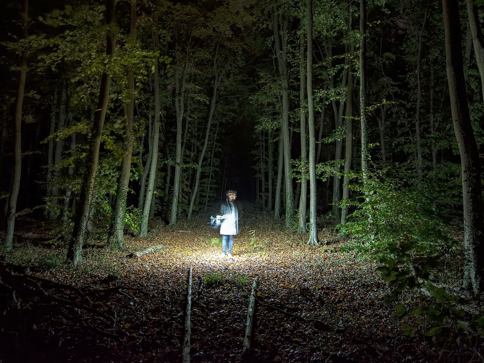
- A head torch if we start before first light
What's included
- Your guide for the whole day
- Pick-up and drop-off
- Water refills, trail food and a proper lunch stop
- Poles if you want them
- Photographs and the recorded GPX
- Travel insurance
- Dinner
Price
| People | Per person | Total |
|---|---|---|
| 1 | 3,600,000 VND≈ $138 | 3,600,000 VND |
| 2 | 2,400,000 VND≈ $92.31 | 4,800,000 VND |
| 3–4 | 2,050,000 VND≈ $78.85 | 6,150,000 VND |
Prices are per person in Vietnamese đồng. The US dollar figure is indicative and follows the rate set in the site's settings.
Safety
This is a committing route: from about kilometre 8 to kilometre 20 there is no quick way off it, and no mobile coverage for long stretches. I carry a first-aid kit, an offline map and a power bank, and I will change the plan mid-route if the weather turns. We do not run this one in the wet season.
Minimum age eighteen, maximum four runners. Dry season only, November to April. I may shorten the route on the day if the pace or the weather says so — that call is mine.
Meeting point
Hotel pick-up at 05:00 in the dry season, on the trail by 05:30. Expect to be back in town by early afternoon.
Your guide

Ivan Grigorev
I am Ivan. I have been running for twenty years and coaching runners since 2011, and I have been in the mountains since 2009 and guiding in them since 2015. Ten marathons, five ultras over 100 km, Elbrus twice. I live in Da Lat and I have spent my mornings learning where its trails actually go.
Meet your guide