Lung Cu Flag Loop
Ha Giang, Tuyen Quang, Vietnam
Vietnam's northern tip through Lo Lo and H'Mong villages
Overview
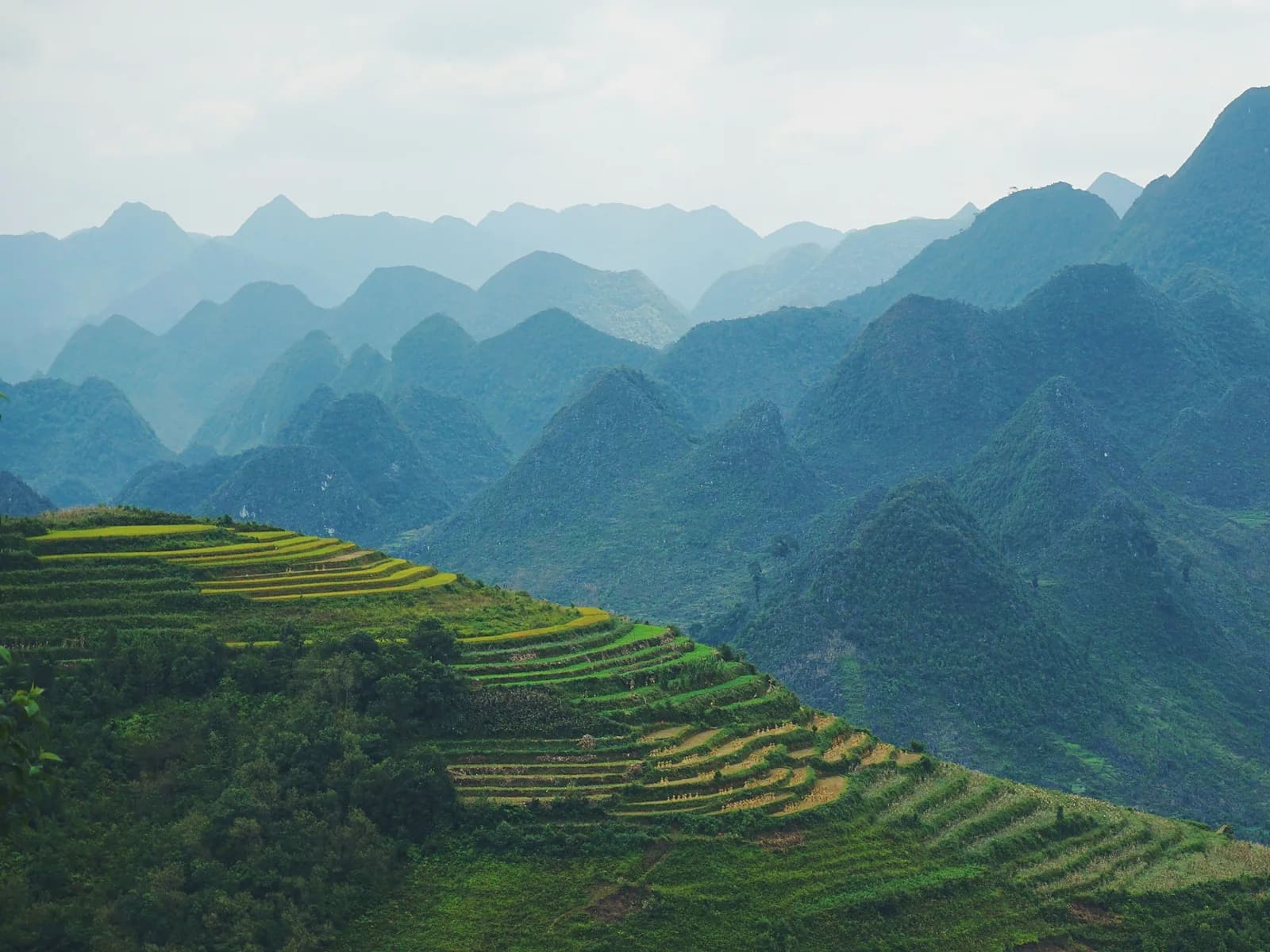
Vietnam's northernmost point is more than a flag tower. This loop starts with the 839 steps to the tower on Dragon Mountain, then instead of returning to the car park continues north into Lo Lo Chai – one of the last Black Lo Lo villages still living in rammed-earth houses under yin-yang tiled roofs. A footpath then follows the foot of the karst with views over the border, crossing paddies and the H'Mong village of Then Pa before closing the loop. Nothing technical, but the hard sun and karst remind you this is still the stone plateau.
- Elevation gain
- +222 m
- Elevation loss
- −220 m
- Max altitude
- 1,624 m
- Min altitude
- 1,445 m
- Completions
- 2
- Trail Pack owners
- 0
Route
117 GPS pointsKm 0–0.9: steps to the flag tower. Km 0.9–3.4: northern path down to Lo Lo Chai through maize. Km 3.4–5.6: narrow concrete then dirt along the foot of the karst. Km 5.6–7.2: across narrow terraces into Then Pa. Km 7.2–8.8: village road back to the car park.
Waypoints
- km 0.0Lung Cu flag tower car parkStart1468 m
- km 0.9Lung Cu flag tower – 1,470 mViewpoint1529 m
839 steps, 25,000 ₫ ticket.
- km 3.4Lo Lo Chai villageVillage1593 m
Black Lo Lo village, rammed-earth houses, 'Northernmost café'.
- km 3.5Northernmost caféWater1587 m
- km 5.6Border viewpointViewpoint1482 m
- km 7.2Then Pa – H'Mong villageVillage1446 m
- km 8.8Flag tower car parkFinish1470 m
Elevation
380 m up, 380 m down. High point 1,630 m on the hillside at km 2. The tower steps are the steepest part.
Weather
As Dong Van: dry, sunny, windy in winter. Early fog in December–January can hide the tower until 9 am.
How to get there
From Dong Van ride 26 km (45 min) along provincial road 4C and turn off to Lung Cu. Many motorbike tours stop here – go independently to have time to run.
Water sources
The Northernmost café and a grocery in Lo Lo Chai at km 3.5. A drinks stall at the car park.
- km 3.5Northernmost café
Food
Lo Lo Chai has 3–4 homestays serving meals, coffee and cake. Dong Van has more options afterwards.
Camping
A rammed-earth homestay in Lo Lo Chai (200,000–350,000 ₫) – stay for stars and a northern-tip sunrise. No camping in the border zone.
Safety
Quiet and safe. Carry ID for the border-guard post. Sharp karst at km 5–6.
Emergency
Save the local contacts before you lose signal. Tell someone your route and turnaround time.
Best season
October–November for buckwheat; January–February for peach and plum blossom in Lo Lo Chai.
Equipment
Trail or grippy road shoes, hat, sunscreen, 1.5 litres of water, small notes.
Trail reports
No open reports. Be the first to report a condition change.
Reviews
- KTKenji TanakaTrail Explorer26 Jun 2026
Easy loop with real culture
Lo Lo Chai village is worth the trip alone. Route is simple, sun is brutal after 9 am.
Sign in to leave a review.
Nearby trails
Ma Pi Leng Skyline
Ha Giang · Tuyen Quang
- Distance
- 14.2 km
- Elevation
- +754 m
- Time
- 5–8 h