Bach Ma Summit – Vong Hai Dai
Bach Ma, Hue, Vietnam
22 km of long, runnable climbing to a lookout over the sea
Overview
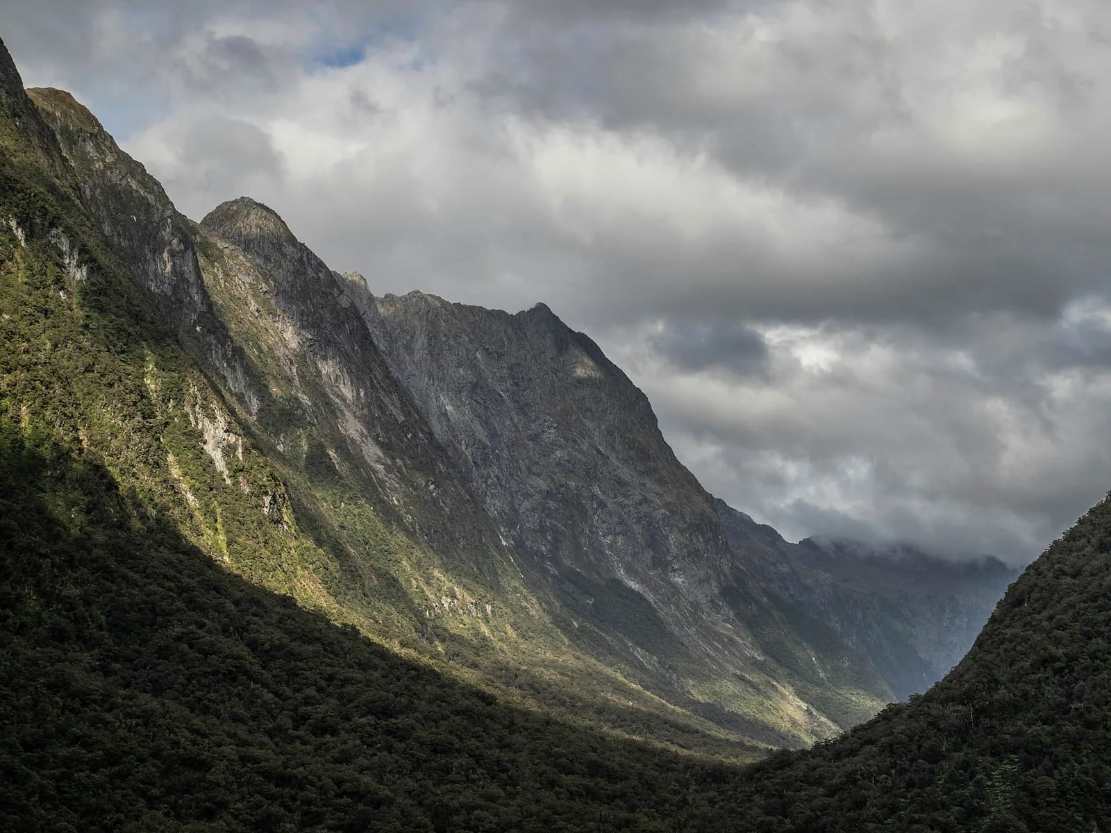
Bach Ma is the wettest place in Vietnam, and that makes for the densest green forest you will ever see. The old French road – now closed to private vehicles, with only a few park shuttles a day – climbs steadily 16 km to the villa ruins at 1,250 m, and MONT combines it with forest shortcuts to bring it down to 11.4 km each way. From the villas the Vong Hai Dai path leads to an observation tower where, on a clear day, you see Tam Giang lagoon and the sea at Lang Co. Runnable from start to finish, this is the ideal long-climb session for ultra training. Leeches are a certainty.
- Elevation gain
- +1,304 m
- Elevation loss
- −1,299 m
- Max altitude
- 1,449 m
- Min altitude
- 145 m
- Completions
- 2
- Trail Pack owners
- 5
Route
109 GPS pointsKm 0–3.2: old asphalt at 8 % through forest. Km 3.2–6.8: forest paths cutting the road's hairpins (steeper, 15–20 %). Km 6.8–8.9: asphalt to the villa area; take the Do Quyen waterfall detour if time allows (+2 km, +689 steps). Km 8.9–11.4: the Vong Hai Dai path on mossy stone steps. Return the same way.
Waypoints
- km 0.0Bach Ma NP gateStart145 m
60,000 ₫ ticket. The old road is closed to private vehicles – park shuttles only.
- km 6.8Do Quyen waterfall turn-off (+2 km)Viewpoint911 m
300 m waterfall; 689 steps to its base.
- km 8.9French villas – park guesthouseShelter1128 m
Rooms and canteen.
- km 8.9Bach Ma canteenFood1128 m
- km 11.4Vong Hai Dai 1,450 mSummit1412 m
Observation tower over Tam Giang lagoon and the sea.
- km 22.8Bach Ma NP gateFinish150 m
- 2 premium waypoints (water, camps, hazards) are in the Trail Pack
Elevation
1,300 m up, 1,300 m down. From 150 m to 1,450 m. The asphalt is a steady 8 %, the shortcuts 15–20 %.
Weather
Close to 8,000 mm of rain a year; September–January is relentless and the park closes for typhoons. Dry season March–August: 22 °C at the gate in the morning, 15 °C on top, frequent afternoon showers. The summit is usually in cloud from 11 am.
How to get there
40 km south of Hue (1 h) or 70 km from Da Nang through the Hai Van tunnel (1.5 h) to the park gate at Cau Hai. The park's 15-seat shuttle runs 2–3 times a day to the villas (useful for the descent if needed).
Water sources
Roadside stream at km 3.2 and many smaller ones (filter). Canteen at the villas, km 8.9. Carry 1.5 litres.
Exact locations are part of the Trail Pack
Food
The villa canteen serves rice, noodles and coffee 7 am–5 pm. Stalls at the gate. Carry gels for the first two hours of climbing.
- km 8.9Bach Ma canteen
Camping
No camping; the French villas have rooms (300,000–600,000 ₫) – staying overnight to run Vong Hai Dai at sunrise is a great option.
Safety
Leeches on every forest path – check often. Mossy rock at Vong Hai Dai. Pit vipers in roadside scrub. Road landslides in the wet season. Signal only at the villas and the summit.
Dangerous sections
- km 10.2–11.4Unlock the Trail Pack to read this section
- km 3.2–6.8Unlock the Trail Pack to read this section
Escape routes
- km 8.9Unlock the Trail Pack to read this section
Emergency
Save the local contacts before you lose signal. Tell someone your route and turnaround time.
Best season
March–May has the least rain; June–August is hot at the base but cool on top, with Do Quyen still flowing strongly.
Equipment
Trail shoes or grippy road shoes, leech socks, rain jacket (always), 5–8 L vest, filter, salt, optional poles for the descent.
- Grippy trail shoes
- Leech socks
- Rain jacket
- 5–8 L vest
- Water filter
- Electrolyte salts
- Poles (optional)
- Dry bag for phone
Trail reports
- LandslideSạt nhỏ trên đường nhựa km 5,8, đã có lối đi vòng qua, xe của vườn vẫn chạy được.Trần Công Minh · 16 Sept 2026 · km 5.8 · verified by moderator
Reviews
- CMTrần Công MinhMONT Ambassador Verified14 Sept 2026
Cung ultra sân nhà
Mình ở Huế, chạy Bạch Mã hàng tháng. Lối cắt cua trong GPX tiết kiệm được 5 km so với đi đường nhựa. Vắt thì… là Bạch Mã.
Sign in to leave a review.