Lang Biang Summit — Núi Bà
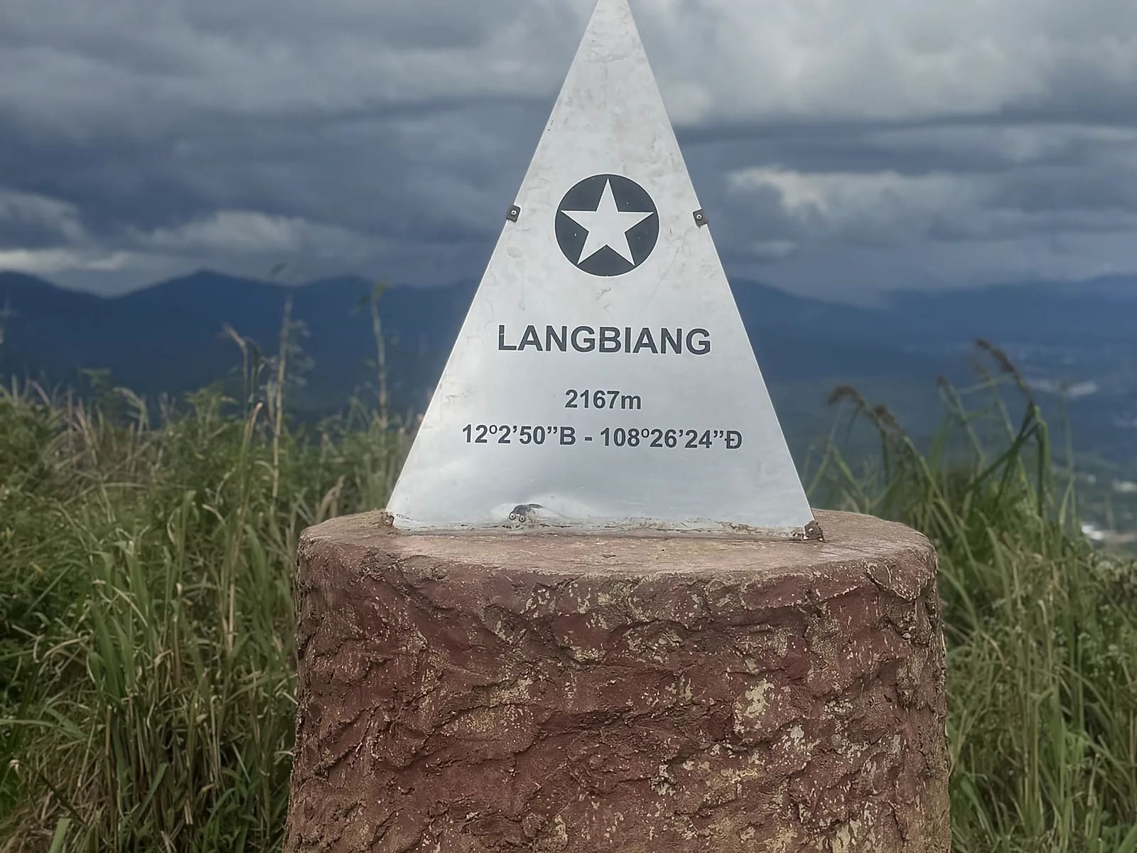
2,167 metres, the long way, on the trail rather than the road
About this trail
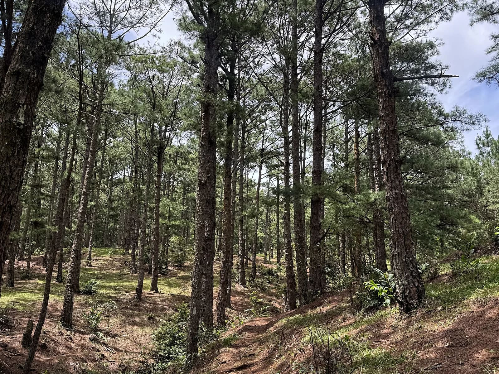
Almost everyone who says they have climbed Lang Biang has been to Radar Hill. The real summit, Núi Bà at 2,167 metres, is two hours further on foot and a different mountain entirely — rooty singletrack through pine and then old forest, steep enough in places that somebody has built steps into it. We take the forest approach from the gate rather than the jeep road, which makes the day longer and much better. From the top the whole plateau is below you and Bidoup is on the horizon.
Highlights
- Núi Bà, 2,167 m — the true summit, not the radar station
- The forest approach, away from the road and the crowds
- Old forest with the trail disappearing into roots
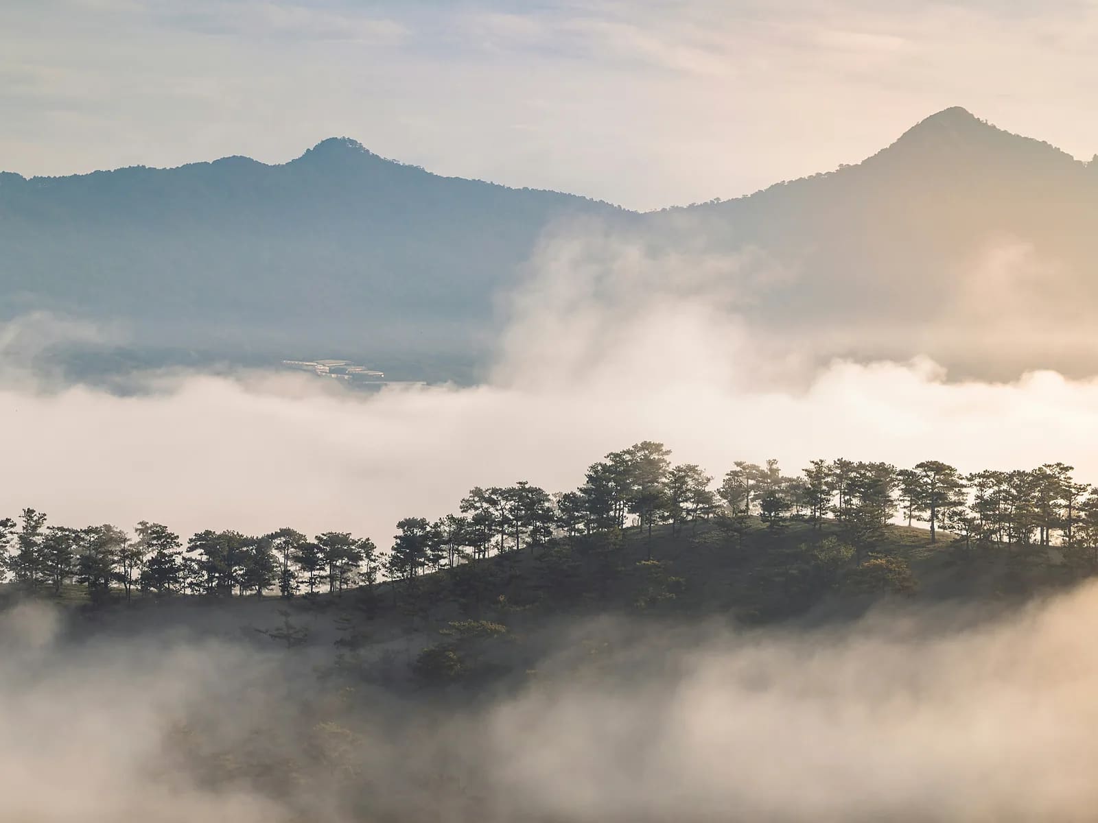
- A summit view across the plateau to Bidoup
Route
The line on the map is drawn through the real features of the route, not recorded with a GPS. It is right about where the route goes and how steep it is; the exact GPX comes from your own day and is sent to you afterwards.
From the gate on the forest path past coffee plots at 2.2 km, climbing steadily to a spring at 5.4 km. The last stretch to the summit at 8.1 km is rooty and stepped. We descend the same line, with the steepest and most slippery section at 10.6 km, and finish back at the gate.
Along the way
- km 0.0Lang Biang entrance gateStart1520 m
- km 2.2Coffee plotsVillage1710 m
- km 5.4Forest springWater1960 m
- km 8.1Núi Bà summit, 2,167 mSummit
- km 10.6Rooty descentDanger1995 m
- km 16.0Lang Biang entrance gateFinish1520 m
Who is it for?
Walkers with hill experience. Seven to eight hours including stops, 900 metres of ascent and the same down on tired legs. You do not need to be fast, but you need to be able to keep going.
What to bring
- Boots or trail shoes with real grip
- Two litres of water
- Warm layer and a rain shell — the summit is cold and the weather changes
- Long socks and trousers in the wet season, for the leeches
- Poles if you use them; I carry spares
What's included
- Your guide for the day
- Pick-up and drop-off in central Da Lat
- Water, trail snacks and a packed lunch
- Poles if you want them
- Photographs from the day
- Lang Biang entrance ticket, 50,000 ₫ per adult, paid at the gate
- Travel insurance
Price
| People | Per person | Total |
|---|---|---|
| 1 | 2,900,000 VND≈ $112 | 2,900,000 VND |
| 2 | 1,950,000 VND≈ $75.00 | 3,900,000 VND |
| 3–4 | 1,650,000 VND≈ $63.46 | 4,950,000 VND |
| 5–6 | 1,450,000 VND≈ $55.77 | 7,250,000 VND |
Prices are per person in Vietnamese đồng. The US dollar figure is indicative and follows the rate set in the site's settings.
Payable on the day
- Lang Biang entrance ticket50,000 VND / per person
Safety
This is the trail where people get lost — in July 2024 three visitors needed a rescue involving around thirty personnel after losing the path in old forest. Sections of tread genuinely disappear. I carry an offline map, compass and first-aid kit, and we turn round at a fixed time regardless of how close the summit is. Leeches from June to October. No mobile coverage above the spring.
Minimum age sixteen and previous hill-walking experience. Maximum six people. Not run in heavy rain. Please confirm the current gate rules with me when you book — opening hours on this mountain change and I check them before every trip.
Meeting point
Hotel pick-up at 06:00, at the gate for opening at 07:00. Back in Da Lat by mid-afternoon. I will confirm the plan the evening before once I have seen the forecast.
Your guide

Ivan Grigorev
I am Ivan. I have been running for twenty years and coaching runners since 2011, and I have been in the mountains since 2009 and guiding in them since 2015. Ten marathons, five ultras over 100 km, Elbrus twice. I live in Da Lat and I have spent my mornings learning where its trails actually go.
Meet your guide