Lang Biang Radar Ridge
Walk the mountain everyone else drives up
About this trail
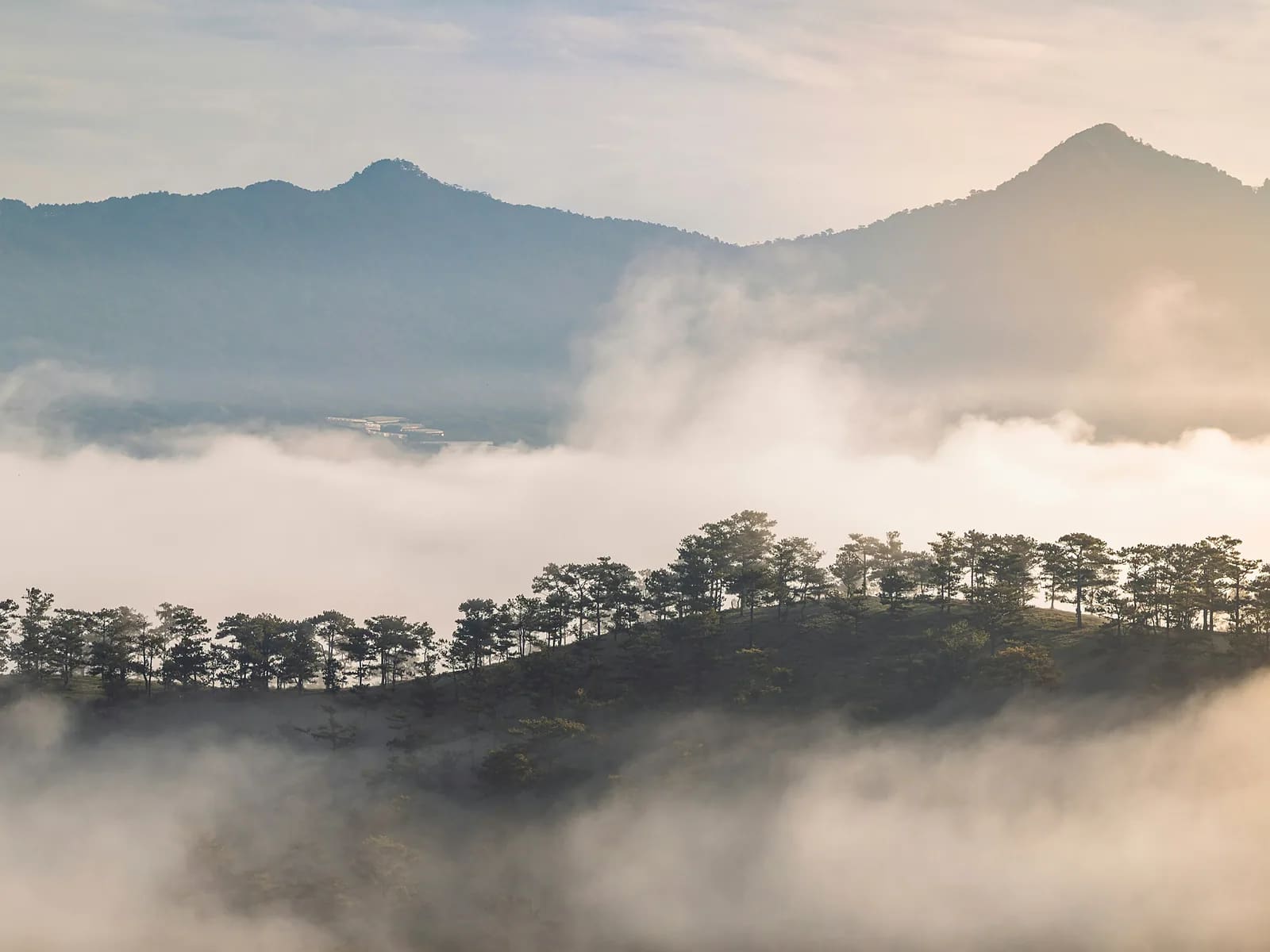
There is a queue of Russian jeeps at the Lang Biang gate carrying people 4.4 kilometres up a paved road to the Radar Hill viewpoint. Walking it takes two hours, costs nothing extra, and is a completely different morning: pine forest, strawberry fields and coffee plots on the lower slopes, the plateau opening up behind you as you climb. At the top there is a café and, on a clear morning, a view across the whole Lâm Viên plateau. We come down on the parallel forest trail rather than the tarmac.
Highlights
- Radar Hill at 1,929 m, on your own legs
- Strawberry fields and coffee plots on the lower slopes
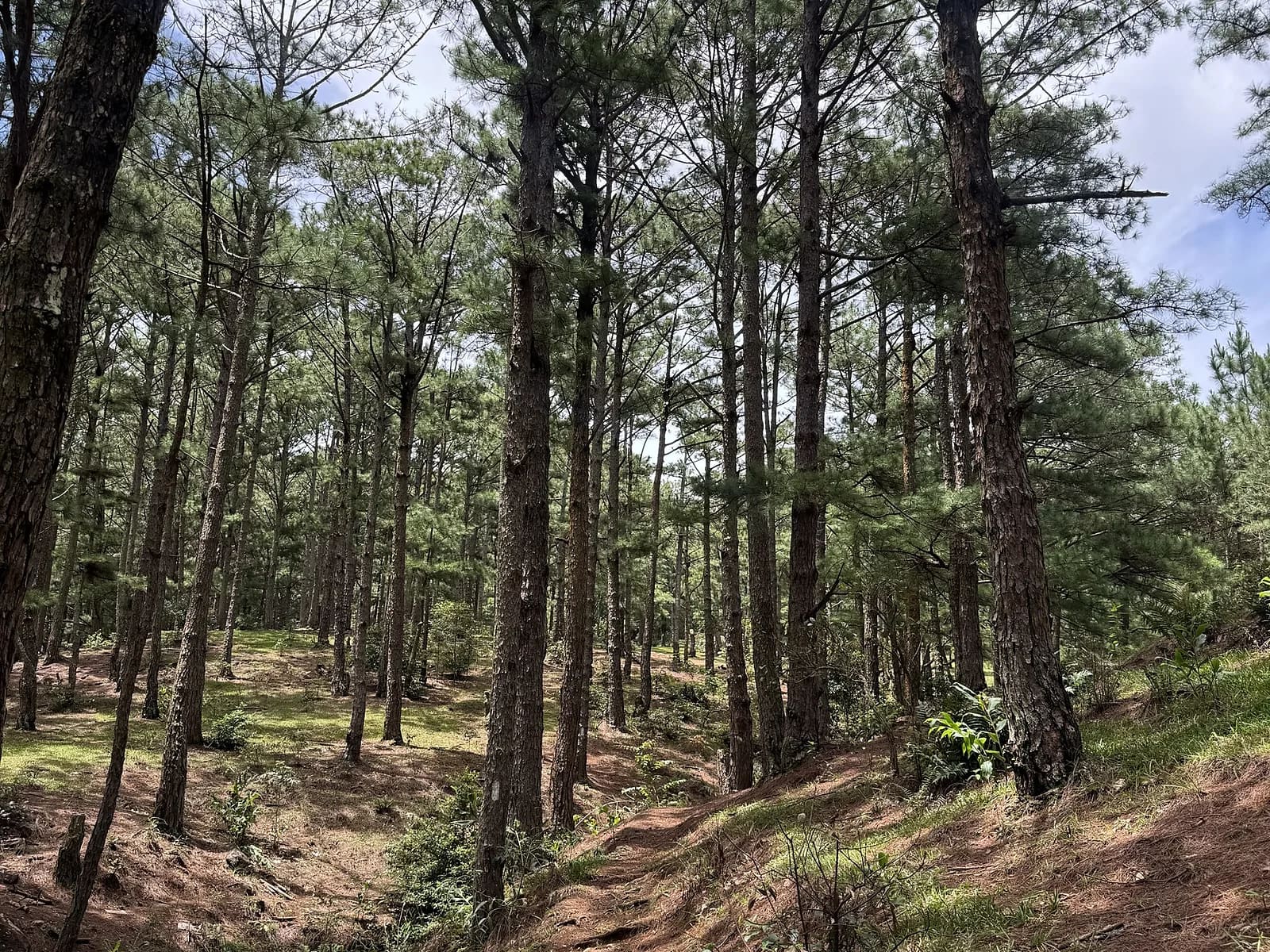
- Pine forest descent away from the jeep road
- Coffee at the top, with the plateau underneath you
Route
The line on the map is drawn through the real features of the route, not recorded with a GPS. It is right about where the route goes and how steep it is; the exact GPX comes from your own day and is sent to you afterwards.
Up the paved road from the gate, past the strawberry fields at 1.8 km, with the gradient easing twice before the final ramp to Radar Hill at 4.7 km. Coffee at the summit café, then down the forest trail that runs parallel to the road and rejoins it near the bottom.
Along the way
- km 0.0Lang Biang entrance gateStart1520 m
- km 1.8Strawberry fieldsViewpoint1620 m
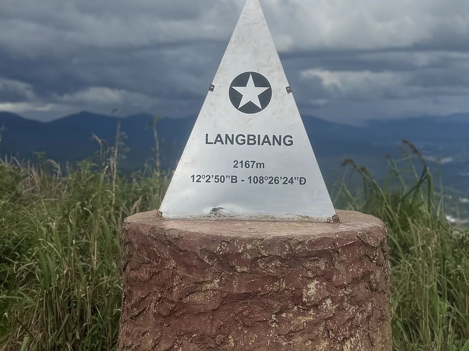
- km 4.7Radar Hill, 1,929 mSummit
- km 5.2Summit caféFood1925 m
- km 9.5Lang Biang entrance gateFinish1520 m
Who is it for?
Anyone reasonably active. It is a sustained climb rather than a hard one — if you walk regularly you will be fine. Good for families with teenagers and for a first day at altitude.
What to bring
- Walking shoes or trainers with some grip for the descent
- A layer: it is cold at the gate at dawn and warm at the top by ten
- Sun protection
- Cash for the gate ticket and coffee
What's included
- Your guide
- Pick-up and drop-off in central Da Lat
- Water and a snack
- Photographs from the walk
- Lang Biang entrance ticket, 50,000 ₫ per adult, paid at the gate
- Coffee at the summit café
- Travel insurance
Price
| People | Per person | Total |
|---|---|---|
| 1 | 1,700,000 VND≈ $65.38 | 1,700,000 VND |
| 2 | 1,150,000 VND≈ $44.23 | 2,300,000 VND |
| 3–4 | 980,000 VND≈ $37.69 | 2,940,000 VND |
| 5–6 | 860,000 VND≈ $33.08 | 4,300,000 VND |
Prices are per person in Vietnamese đồng. The US dollar figure is indicative and follows the rate set in the site's settings.
Payable on the day
- Lang Biang entrance ticket50,000 VND / per person
Safety
Jeeps use this road and they move. We walk on the outside of the bends and step off for them. The forest descent is slippery on pine needles after rain. Mobile coverage is good all the way up.
Suitable from about ten years old. Entrance ticket paid at the gate, in cash. If you would rather ride up and walk down, that works too — tell me when you book.
Meeting point
Hotel pick-up in central Da Lat, about thirty minutes to the Lang Biang gate. The tourist area opens at 07:00 and we start as it does.
Your guide

Ivan Grigorev
I am Ivan. I have been running for twenty years and coaching runners since 2011, and I have been in the mountains since 2009 and guiding in them since 2015. Ten marathons, five ultras over 100 km, Elbrus twice. I live in Da Lat and I have spent my mornings learning where its trails actually go.
Meet your guide