Ba Na – Nui Chua Ridge
Ba Na – Nui Chua, Da Nang, Vietnam
1,380 m of vertical through rainforest on the old French path
Overview
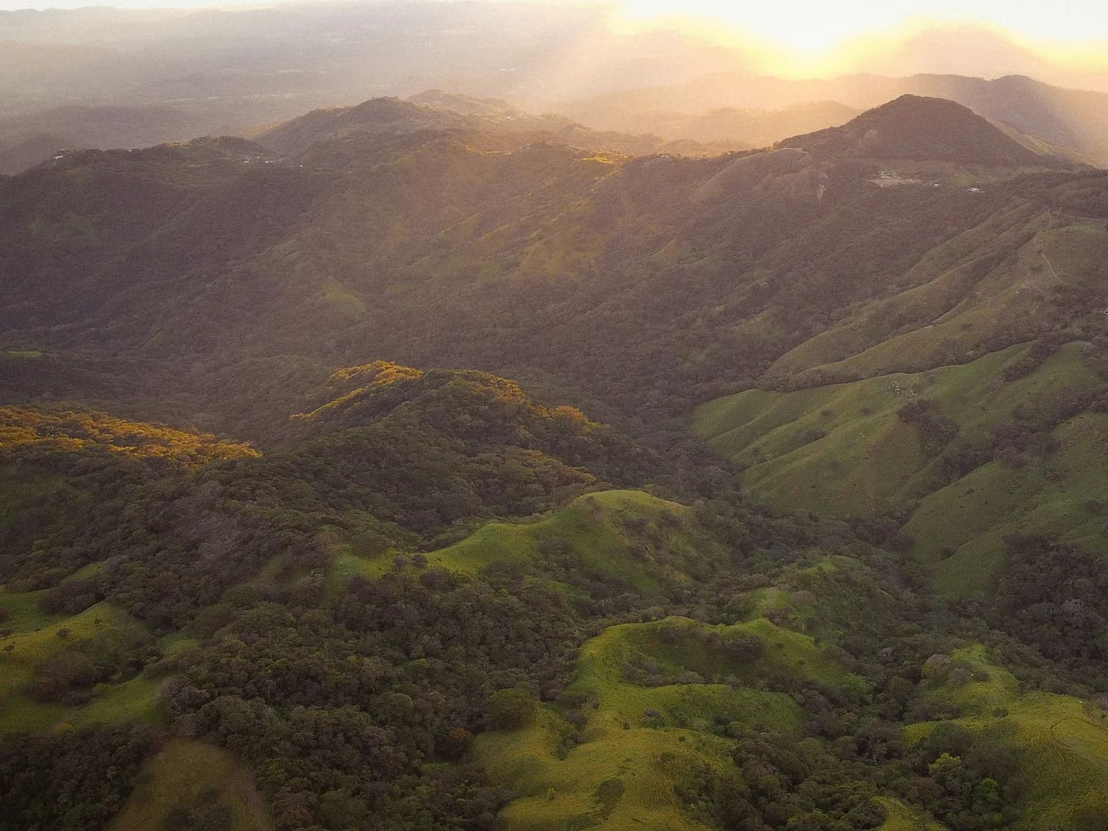
Before the cable car, the French reached Ba Na on this very path. Today the forest has all but swallowed it – which makes it the wildest vertical training ground within 40 minutes of Da Nang. From the ranger station at 110 m the trail fords Suoi Mo stream and then goes straight up the ridge: old stone steps, roots, fixed ropes, ruined villa foundations and finally the 1,487 m Nui Chua summit with (on a clear day) views over Da Nang bay. Leeches are dense, there is a 10 °C temperature gap between base and summit, and the only way out is back down. Coach Le Hoang Nam uses it for his athletes' 100K preparation block and earns a 70 % share of sales.
- Elevation gain
- +1,384 m
- Elevation loss
- −1,385 m
- Max altitude
- 1,486 m
- Min altitude
- 109 m
- Completions
- 2
- Trail Pack owners
- 5
Route
131 GPS pointsKm 0–1.4: dirt track to Suoi Mo, ford it. Km 1.4–3.2: steepening path through secondary forest. Km 3.2–4.6: the 'stone ladder' – old French steps at 35 %, three fixed-rope sections, to the villa foundations. Km 4.6–6.9: damp primary forest, roots, cloud, to the Nui Chua summit. Descend the same way – your knees will remember it.
Waypoints
- km 0.0An Loi ranger stationStart111 m
Show permit. Sign the forest log.
- km 1.4Suoi Mo stream – fordRiver crossing270 m
- km 1.4Suoi Mo – filterableWater270 m
- km 6.9Nui Chua summit 1,487 mSummit1485 m
- km 13.8An Loi ranger stationFinish110 m
- 3 premium waypoints (water, camps, hazards) are in the Trail Pack
Elevation
1,380 m up in 6.9 km – 20 % average, 35 % between km 3 and 4.6. From 110 m to 1,487 m. 1,380 m down.
Weather
30–35 °C at the base, 18–22 °C on top, usually in cloud. Monsoon Sept–Dec: DO NOT go – 3,000 mm of rain and landslides. Even the Feb–Aug dry season brings afternoon showers.
How to get there
30 km west of Da Nang (taxi 300,000 ₫, 45 min by motorbike) to the An Loi ranger station in Hoa Ninh commune. Apply for a permit at the Ba Na – Nui Chua special-use forest office two days ahead (form and contacts in the Trail Pack).
Water sources
Suoi Mo at km 1.4 (filter). The seep at km 5.3 runs only in the wet season. Carry 2.5–3 litres – you will sweat more than you think.
- km 1.4Suoi Mo – filterable
Exact locations are part of the Trail Pack
Food
Nothing on the mountain. Carry gels, salt and a proper meal for the summit. Banh mi and coffee in Hoa Ninh before you start.
Camping
No camping in the special-use forest. This is a day route.
Safety
Fixed ropes are old – test before trusting. Leeches are extreme km 1–5. Red-tailed pit vipers are common. No signal km 2–6. There is no exit other than the way up – set a turnaround time before you start (MONT suggests noon).
Dangerous sections
- km 3.2–4.6Unlock the Trail Pack to read this section
- km 1.3–1.5Unlock the Trail Pack to read this section
Escape routes
- km 4.6Unlock the Trail Pack to read this section
Emergency
Save the local contacts before you lose signal. Tell someone your route and turnaround time.
Best season
March–May: driest, fewest leeches, summit most often clear. June–August is hot but feasible with a 5 am start.
Equipment
Mud-grip trail shoes, leech socks, gloves for the ropes, poles, 3 litres of water, filter, salt, rain shell, headlamp (in case of a late descent), offline GPX.
- Mud-grip trail shoes
- Leech socks
- Gloves
- Folding poles
- 3 L water + filter
- Electrolyte salts
- Rain shell
- Headlamp
- Offline GPX
- First-aid kit
Trail reports
- OtherDây thừng cố định thứ hai (km 3,9) bị sờn nặng, không nên tin tưởng.Lê Anh Tuấn · 21 Sept 2026 · km 3.9
Reviews
- ATLê Anh TuấnTrail Expert Verified8 Aug 2026
Đau nhưng đáng
1.380 m leo trong 6,9 km – đúng như quảng cáo. Dây thừng cũ, kiểm tra kỹ. Giấy phép xin qua số trong Trail Pack rất nhanh.
Sign in to leave a review.